
MyTopo
Classic USGS Devon Peak Nevada 7.5'x7.5' Topo Map
Regular price
$16.95
Regular price
Sale price
$16.95
Unit price
per
Couldn't load pickup availability
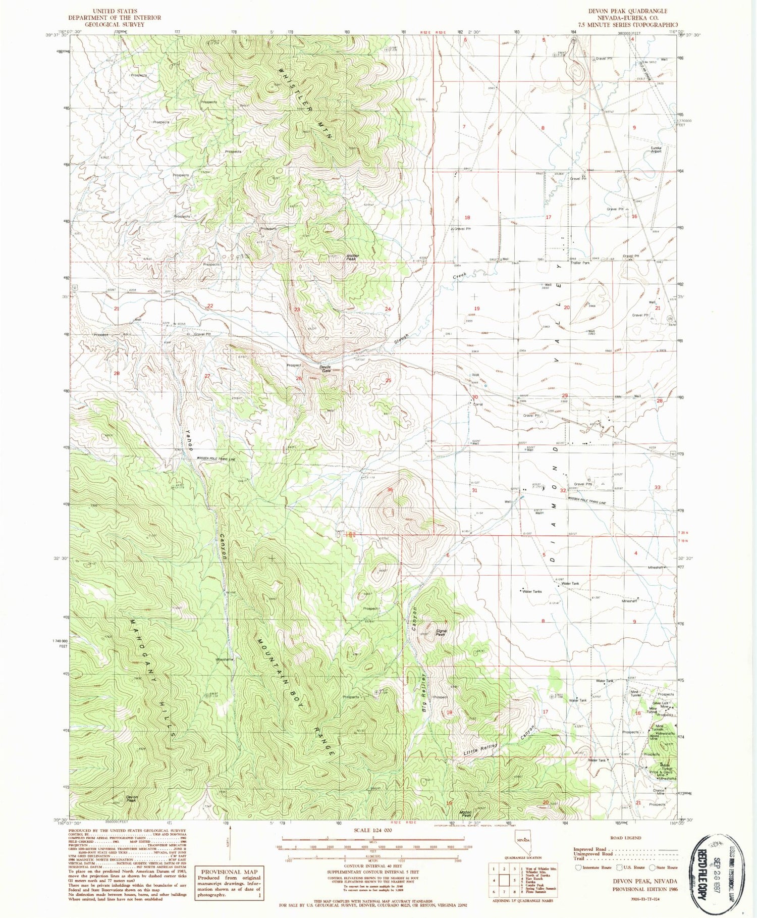
Historical USGS topographic quad map of Devon Peak in the state of Nevada. Map scale may vary for some years, but is generally around 1:24,000. Print size is approximately 24" x 27"
This quadrangle is in the following counties: Eureka.
The map contains contour lines, roads, rivers, towns, and lakes. Printed on high-quality waterproof paper with UV fade-resistant inks, and shipped rolled.
Contains the following named places: Anchor Peak, Big Reilley Canyon, Chance Mine, Devils Gate, Devon Peak, Eureka Airport, Eureka Township, Little Reilley Canyon, Modoc Peak, Price and Davis Mine, Signal Peak, Silver Lick Mine, Spring Valley Mining District, Swallow Canyon, Wales Mine, Yahoo Canyon, Zulu Canyon


