MyTopo
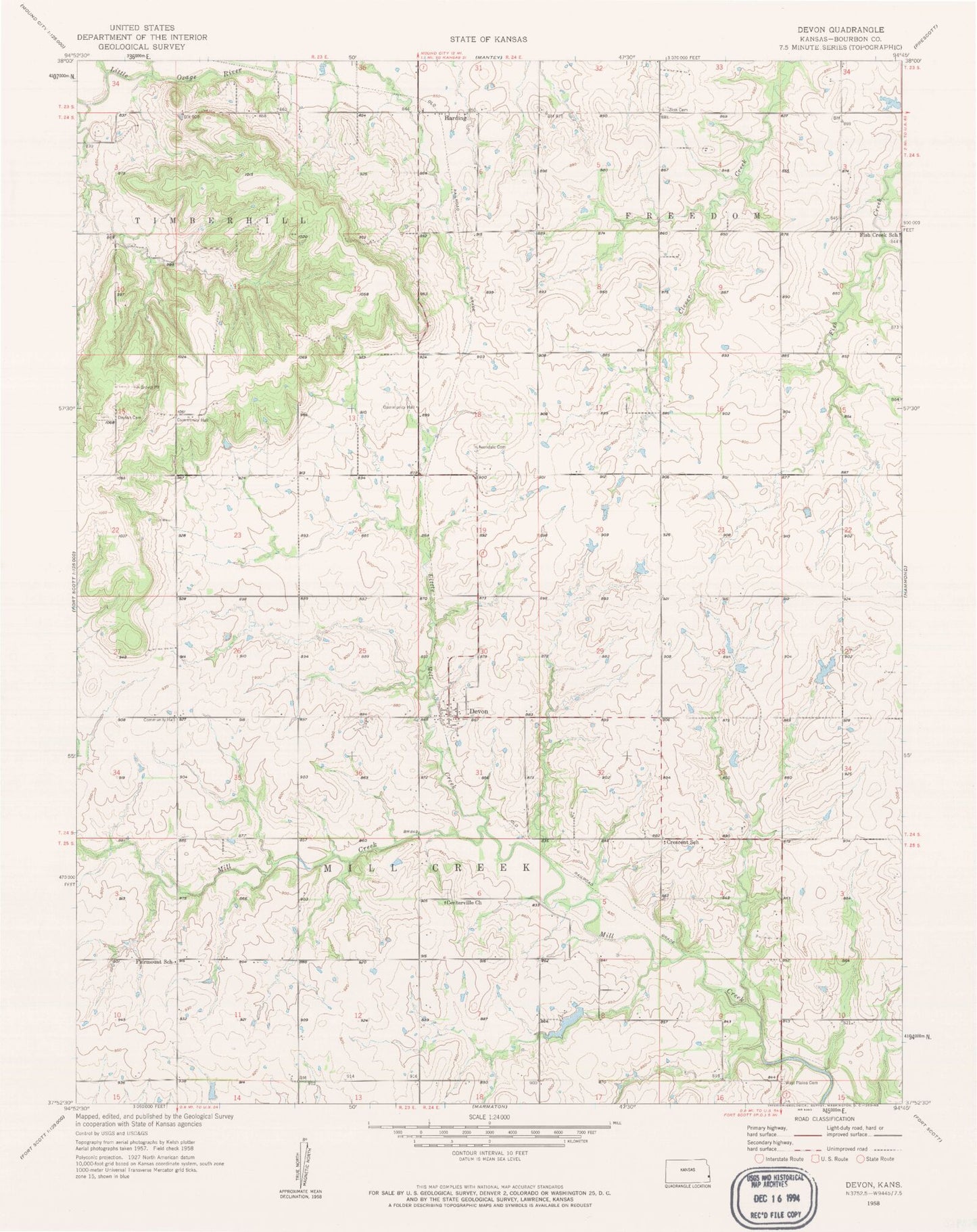
Classic USGS Devon Kansas 7.5'x7.5' Topo Map
Couldn't load pickup availability
Historical USGS topographic quad map of Devon in the state of Kansas. Map scale may vary for some years, but is generally around 1:24,000. Print size is approximately 24" x 27"
This quadrangle is in the following counties: Bourbon.
The map contains contour lines, roads, rivers, towns, and lakes. Printed on high-quality waterproof paper with UV fade-resistant inks, and shipped rolled.
Contains the following named places: Avondale Cemetery, Avondale School, Bourbon County Fire District 3 Station 5, Centerville Cemetery, Centerville Church, Centerville School, Crescent School, Dayton, Dayton Cemetery, Dayton School, Devon, Devon Census Designated Place, Devon Community Center, Fairmount School, Fish Creek School, Forestdale School, Harding, Honey Creek, KOMB - FM (Fort Scott), Little Mill Creek, Pleasant Valley School, Rock School, Township of Freedom, Township of Mill Creek, West Plains Cemetery, Zion Cemetery, Zion School