MyTopo
Classic USGS Dewey Gulch California 7.5'x7.5' Topo Map
Couldn't load pickup availability
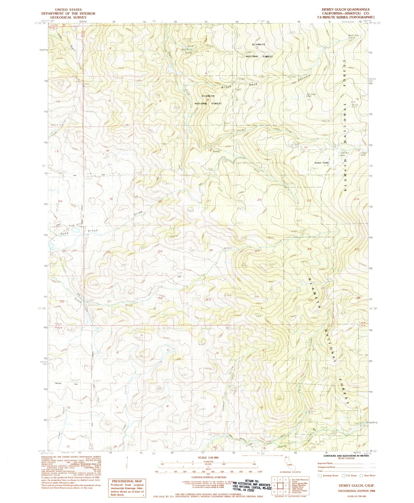
Historical USGS topographic quad map of Dewey Gulch in the state of California. Map scale may vary for some years, but is generally around 1:24,000. Print size is approximately 24" x 27"
This quadrangle is in the following counties: Siskiyou.
The map contains contour lines, roads, rivers, towns, and lakes. Printed on high-quality waterproof paper with UV fade-resistant inks, and shipped rolled.
Contains the following named places: Barba, Black Rock Canyon, Black Rock Spring, Buckley, Chandler Glade, Cold Creek, Cold Spring, Dewey Gulch, Dry Creek, Kuck Ditch, Long Glade, Montague Division, North Fork Bogus Creek, Old Lady Glade, Old Schmidt Sawmill, Old White Mill, Parker Cabin, Parker Camp, Parker Camp Trail, Parker Creek, Smith Mine, Smith Sawmill, South Fork Bogus Creek, Steep Trail Creek, Steep Trail Spring, Sylva Brothers, York, ZIP Code: 96064