
MyTopo
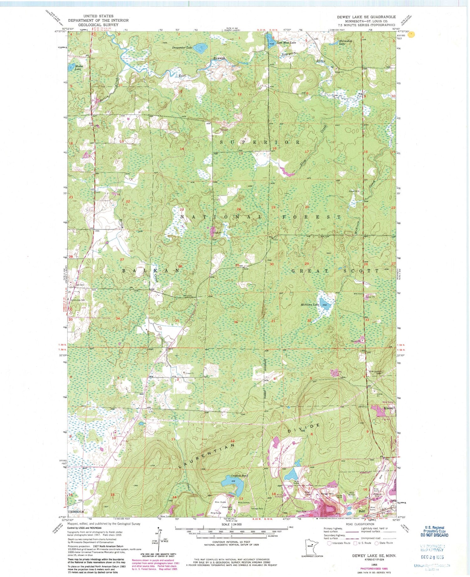
Classic USGS Dewey Lake SE Minnesota 7.5'x7.5' Topo Map
Couldn't load pickup availability
Historical USGS topographic quad map of Dewey Lake SE in the state of Minnesota. Map scale may vary for some years, but is generally around 1:24,000. Print size is approximately 24" x 27"
This quadrangle is in the following counties: St. Louis.
The map contains contour lines, roads, rivers, towns, and lakes. Printed on high-quality waterproof paper with UV fade-resistant inks, and shipped rolled.
Contains the following named places: Boriin Creek, Buhl Lookout Tower, Croxton Pond, Deepwater Lake, Drew-Syme Mine, Grant Mine, Horseshoe Lake, Lost Man Lake, Margaret Mine, McNiven Lake, Moska Lake, Shiras Mine, Slow Creek, Township of Balkan, Wabigon Mine, Wabigone Tailings Basin, Wabigone Tailings Dike, Wanless Mine, ZIP Code: 55719


