MyTopo
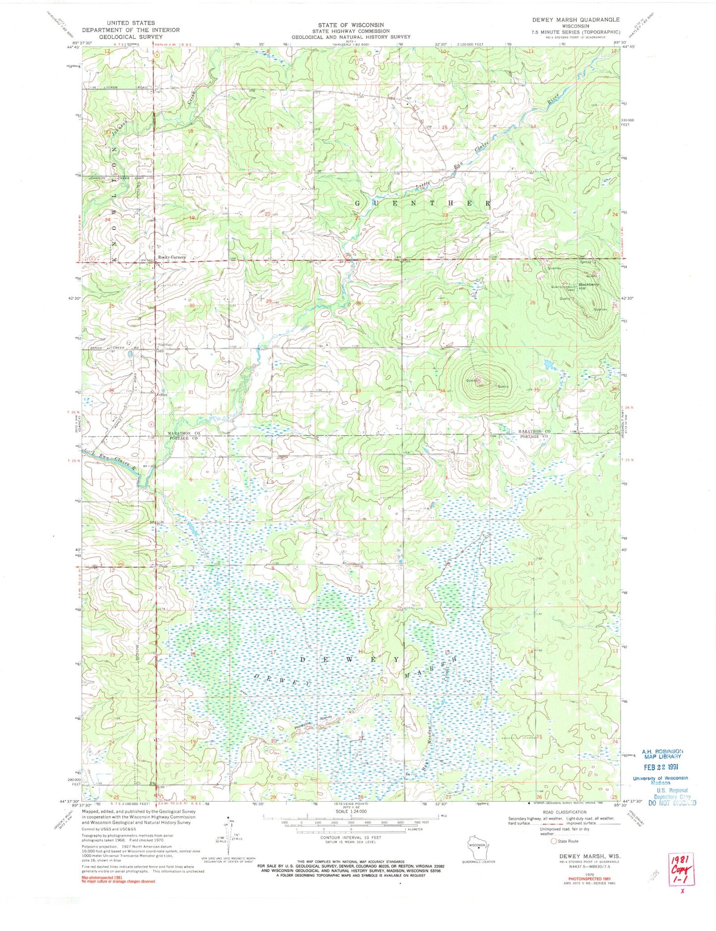
Classic USGS Dewey Marsh Wisconsin 7.5'x7.5' Topo Map
Couldn't load pickup availability
Historical USGS topographic quad map of Dewey Marsh in the state of Wisconsin. Map scale may vary for some years, but is generally around 1:24,000. Print size is approximately 24" x 27"
This quadrangle is in the following counties: Marathon, Portage.
The map contains contour lines, roads, rivers, towns, and lakes. Printed on high-quality waterproof paper with UV fade-resistant inks, and shipped rolled.
Contains the following named places: Ashley, Blackberry Hill, Cisewski Farms, Cole School, Dewey Marsh, Dewey Marsh State Natural Area, Guenther School, Hajec Farm, Jet D Ranch, Kolodziez Farm, Lake Du Bay Berry Farms, Lassa Dairy Farms, Little Eau Claire School, Philippine Islands, Quarry Lookout Tower, Rockland School, Rocky Corners, Ryan School, Town of Dewey, Town of Guenther