MyTopo
Classic USGS Dewey South Dakota 7.5'x7.5' Topo Map
Couldn't load pickup availability
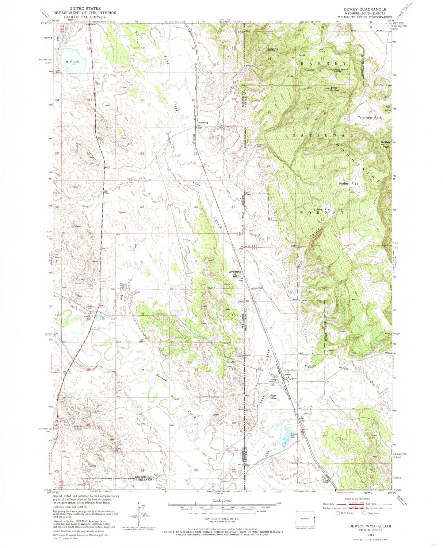
Historical USGS topographic quad map of Dewey in the states of South Dakota, Wyoming. Map scale may vary for some years, but is generally around 1:24,000. Print size is approximately 24" x 27"
This quadrangle is in the following counties: Custer, Niobrara, Weston.
The map contains contour lines, roads, rivers, towns, and lakes. Printed on high-quality waterproof paper with UV fade-resistant inks, and shipped rolled.
Contains the following named places: Baltzly Spring, Carr Spring, Dakoming, Dewey, Dewey Volunteer Fire Department, Elk Mountain Mine, Hay Creek, Holey Flat, Line Creek, Little Flat, Lucky Strike Bentonite Mine, M W Lake, M W Reservoir, Plum Canyon, Red Point, S and G Ranch, Sullivan Peak, Triangle Park, Twin Buttes, Wicker and Baldwin Mine, Wyoming Hill