MyTopo
Classic USGS Dewitt Peak California 7.5'x7.5' Topo Map
Couldn't load pickup availability
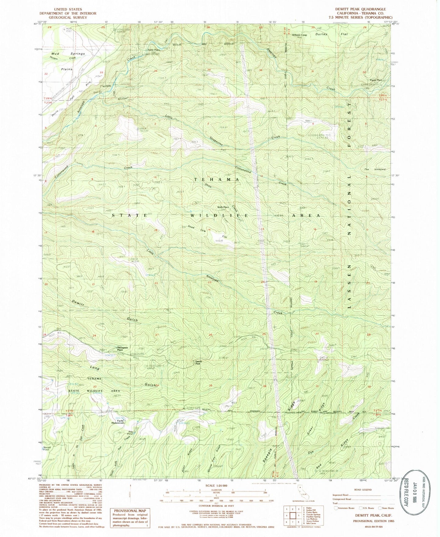
Historical USGS topographic quad map of Dewitt Peak in the state of California. Typical map scale is 1:24,000, but may vary for certain years, if available. Print size: 24" x 27"
This quadrangle is in the following counties: Tehama.
The map contains contour lines, roads, rivers, towns, and lakes. Printed on high-quality waterproof paper with UV fade-resistant inks, and shipped rolled.
Contains the following named places: Cameron Creek, Dewitt Peak, Durley Flat, Facht Homestead, Shaw Creek, Campo Seco Ridge, The Vineyard, Willards Camp, Indian Creek, Little Grapevine Creek, Facht Place, P-38 Crossing, Payne Place, Thompson Place, Wells Place, Allen Ridge, Arts Pond, Dead Cow Flat, Devils Half Acre, Greer Ridge, Rasmussen Cabin (historical), Red Ridge, Speegle Ridge, Willow Tree Ridge, Cameron Place (historical), Glassburger Place (historical), Tehama State Wildlife Area