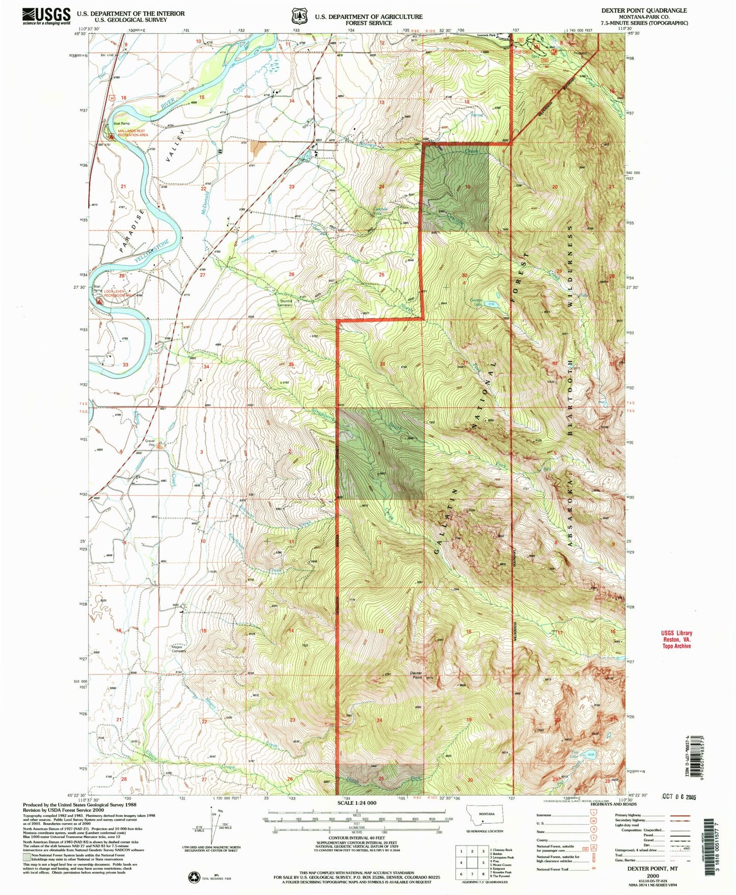
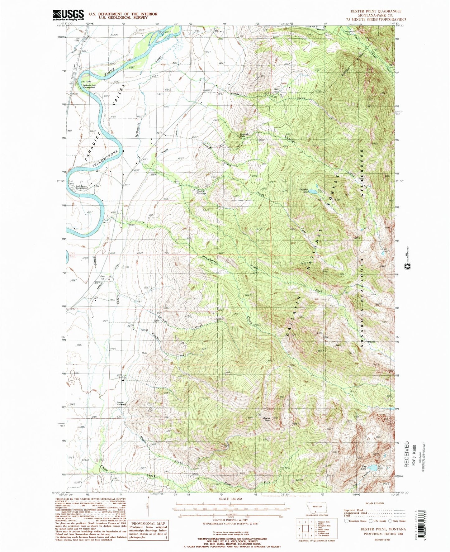
MyTopo
Classic USGS Dexter Point Montana 7.5'x7.5' Topo Map
Couldn't load pickup availability
Historical USGS topographic quad map of Dexter Point in the state of Montana. Map scale may vary for some years, but is generally around 1:24,000. Print size is approximately 24" x 27"
This quadrangle is in the following counties: Park.
The map contains contour lines, roads, rivers, towns, and lakes. Printed on high-quality waterproof paper with UV fade-resistant inks, and shipped rolled.
Contains the following named places: Barney Creek, Cascade Creek, Cascade Falls, Dexter Point, Elbow Creek, Fire Lake, George Creek, George Lake, Johnson Creek, Kauffman Creek, Lillie Dutton Memorial Chapel, Livingston Division, Loch Leven Campground, Loch Leven Fishing Access Site, Loch Leven Recreational Area, Luccock Park Assembly Grounds, Magee Cemetery, Magee Creek, Mallards Rest Campground, Mallards Rest Fishing Access Site, Mallards Rest Recreational Area, McDonald Creek, North Fork Elbow Creek, North Fork McDonald Creek, Paradise Canal, Paradise Valley Community Church, Park County, Pine Creek Campground, Pine Creek Recreation Area, Rosedale School, Shorthill Cemetery, South Fork McDonald Creek, South Fork Pine Creek, Strawberry Creek, Trail Creek