MyTopo
Classic USGS Dexter Kansas 7.5'x7.5' Topo Map
Couldn't load pickup availability
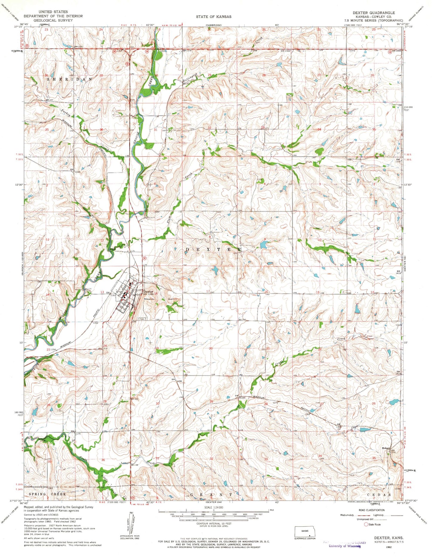
Historical USGS topographic quad map of Dexter in the state of Kansas. Map scale may vary for some years, but is generally around 1:24,000. Print size is approximately 24" x 27"
This quadrangle is in the following counties: Cowley.
The map contains contour lines, roads, rivers, towns, and lakes. Printed on high-quality waterproof paper with UV fade-resistant inks, and shipped rolled.
Contains the following named places: Bullington Creek, City of Dexter, Cowley County Fire District 1 Dexter, Dexter, Dexter Baptist Church, Dexter Cemetery, Dexter Christian Church, Dexter City Hall, Dexter Elementary School, Dexter Junior - Senior High School, Dexter Police Department, Dexter Post Office, Dexter Wastewater Treatment Facility, Fairview School, Gospel Ridge School, Highland School, Hooser, Little Crabb Creek, Plum Creek, Plum Creek School, Star Valley School, Township of Dexter, Turkey Creek, Willow Branch School