MyTopo
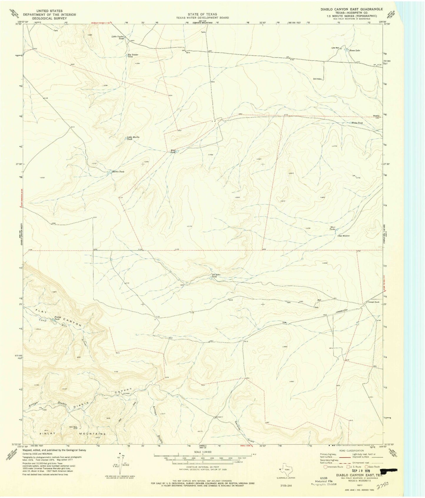
Classic USGS Diablo Canyon East Texas 7.5'x7.5' Topo Map
Regular price
$16.95
Regular price
Sale price
$16.95
Unit price
per
Couldn't load pickup availability
Historical USGS topographic quad map of Diablo Canyon East in the state of Texas. Map scale may vary for some years, but is generally around 1:24,000. Print size is approximately 24" x 27"
This quadrangle is in the following counties: Hudspeth.
The map contains contour lines, roads, rivers, towns, and lakes. Printed on high-quality waterproof paper with UV fade-resistant inks, and shipped rolled.
Contains the following named places: Big Yeader Tank, Broke Tank, Chihuahuan Desert, Finlay Tank, Gunsight Ranch, Lake Well, Little Martin Tank, Little Yeader Tank, Marr Tanks, Marr Windmill, Martin Tank, Old John Tank, Reese Lake, West Tank