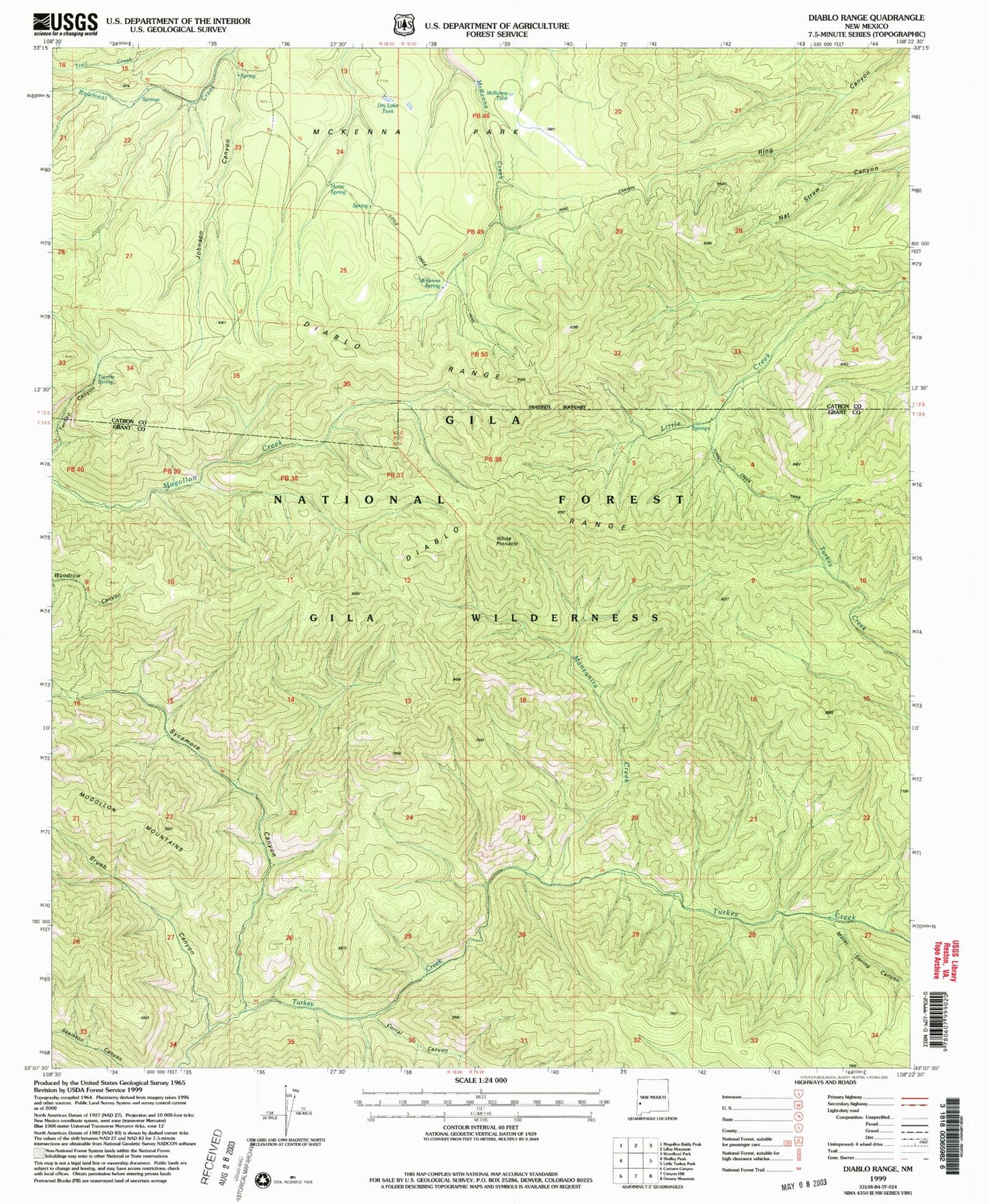
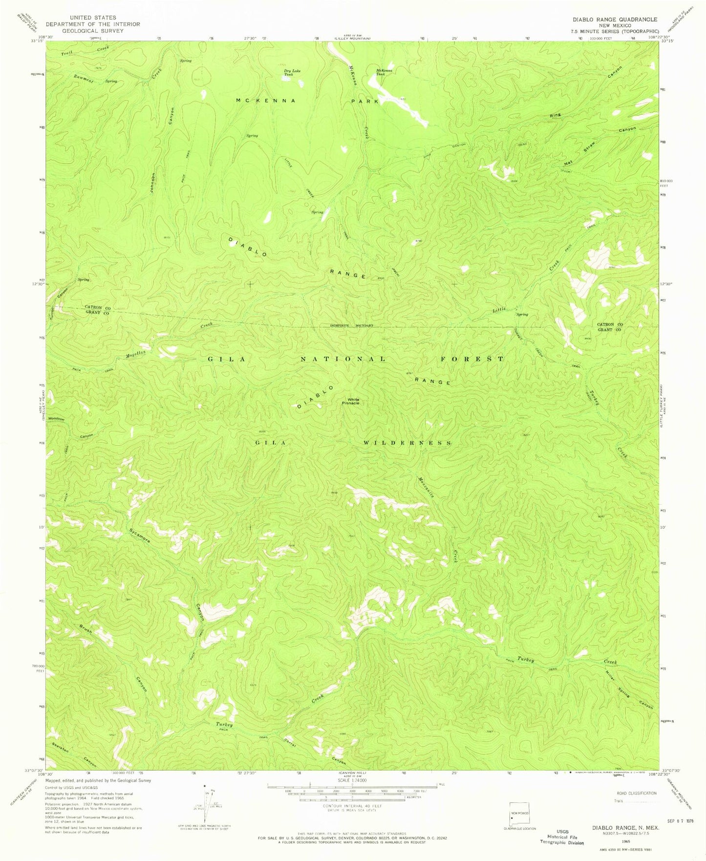
MyTopo
Classic USGS Diablo Range New Mexico 7.5'x7.5' Topo Map
Couldn't load pickup availability
Historical USGS topographic quad map of Diablo Range in the state of New Mexico. Typical map scale is 1:24,000, but may vary for certain years, if available. Print size: 24" x 27"
This quadrangle is in the following counties: Catron, Grant.
The map contains contour lines, roads, rivers, towns, and lakes. Printed on high-quality waterproof paper with UV fade-resistant inks, and shipped rolled.
Contains the following named places: Gila Wilderness, Brush Canyon, Corral Canyon, Dry Lake Tank, Johnson Canyon, Little Creek Trail, Manzanita Creek, McKenna Park, McKenna Tank, Miller Spring Canyon, Sycamore Canyon, Turkey Creek Trail, White Pinnacle, McKenna Spring, Horse Spring, Turnbo Spring, Diablo Range, Horse Springs Weather Station