MyTopo
Classic USGS Diamond G Butte Montana 7.5'x7.5' Topo Map
Regular price
$16.95
Regular price
Sale price
$16.95
Unit price
per
Couldn't load pickup availability
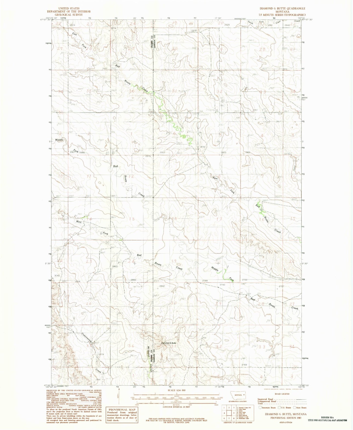
Historical USGS topographic quad map of Diamond G Butte in the state of Montana. Map scale may vary for some years, but is generally around 1:24,000. Print size is approximately 24" x 27"
This quadrangle is in the following counties: Dawson, Prairie.
The map contains contour lines, roads, rivers, towns, and lakes. Printed on high-quality waterproof paper with UV fade-resistant inks, and shipped rolled.
Contains the following named places: 15N50E02ABAB01 Well, 15N50E14DBAD01 Well, 15N50E25ABAC01 Well, 15N50E26ABDD01 Well, 15N50E35ACCA01 Well, 15N51E06ACC_01 Well, 15N51E08BBD_01 Well, Certral School, Diamond G Butte, Goodview School, Middle Fork Bad Route Creek, Washington School, West Fork Bad Route Creek