MyTopo
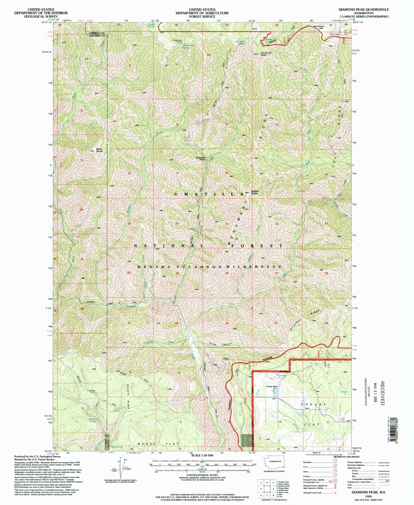
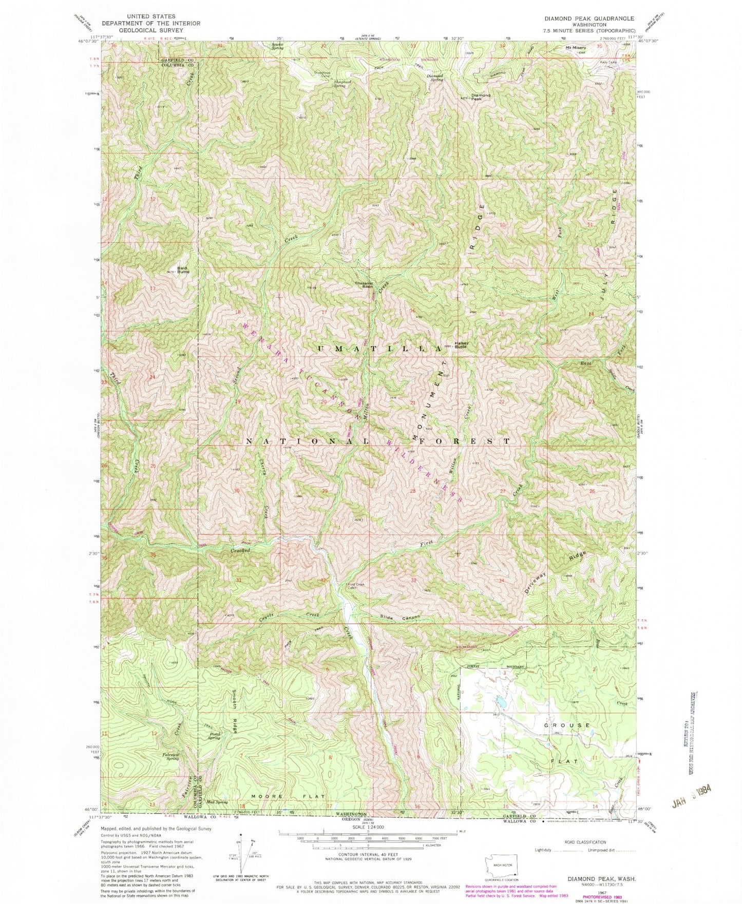
Classic USGS Diamond Peak Washington 7.5'x7.5' Topo Map
Couldn't load pickup availability
Historical USGS topographic quad map of Diamond Peak in the state of Washington. Typical map scale is 1:24,000, but may vary for certain years, if available. Print size: 24" x 27"
This quadrangle is in the following counties: Columbia, Garfield.
The map contains contour lines, roads, rivers, towns, and lakes. Printed on high-quality waterproof paper with UV fade-resistant inks, and shipped rolled.
Contains the following named places: Chaparral Basin, Cherry Creek, Coyote Creek, Diamond Spring, Fairview Spring, First Creek, First Creek Cabin, July Ridge, Melton Creek, Mount Misery, Monument Ridge, Mud Spring, Pistol Spring, Saddle Creek, Second Creek, Sheephead Corral, Sheephead Spring, Slide Canyon, Smooth Ridge, Squaw Spring, Third Creek, West Fork First Creek, Willow Creek, Packer Trail, July Ridge Trail, Melton Creek Trail, Kelly Camp, Bald Butte, Diamond Peak, Halsey Butte, East Fork First Creek, J R Evans Ranch, C H Neal Ranch, Cecil Bott Ranch, Hunt School, Crooked Creek Trail, F Kessler Ranch


