
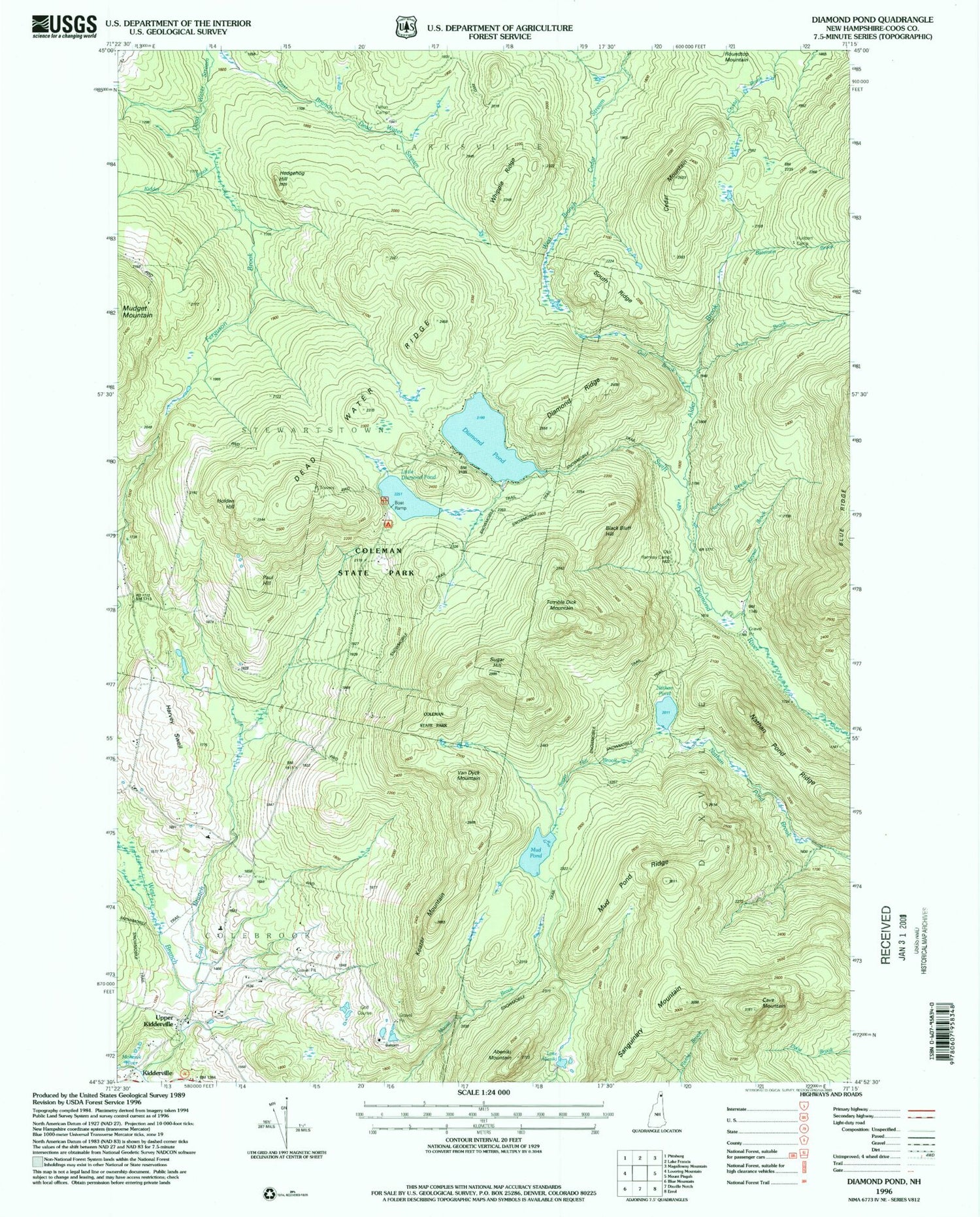
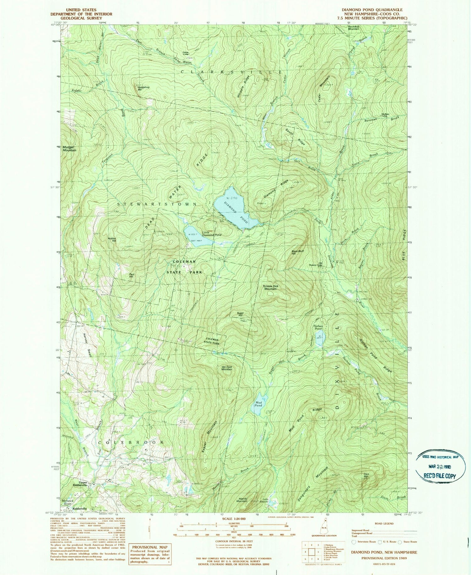
MyTopo
Classic USGS Diamond Pond New Hampshire 7.5'x7.5' Topo Map
Couldn't load pickup availability
Historical USGS topographic quad map of Diamond Pond in the state of New Hampshire. Map scale may vary for some years, but is generally around 1:24,000. Print size is approximately 24" x 27"
This quadrangle is in the following counties: Coos.
The map contains contour lines, roads, rivers, towns, and lakes. Printed on high-quality waterproof paper with UV fade-resistant inks, and shipped rolled.
Contains the following named places: Abeniki Mountain, Alder Brook, Balsams Country Club, Bateman Brook, Black Bluff Hill, Camp E - Toh - Anee, Carr Camp, Cave Mountain, Cedar Mountain, Coleman State Park, Dead Water Ridge, Diamond Pond, Diamond Ridge, East Branch Mohawk River, Felton Camp, Ferguson Brook, Gulf Brook, Harvey Swell, Harvey Swell School, Hedgehog Hill, Hix Brook, Holden Hill, Horn Brook, Hurlbert Camp, Keazer Mountain, Keyser Brook, Kidder Brook, Lake Abeniki, Little Diamond Pond, Moose Brook Dam, Moose Pond, Mud Pond, Mud Pond Dam, Mud Pond Ridge, Nathan Pond, Nathan Pond Ridge, Old Ramsay Camp, Paul Hill, Ramsay Camp, Sanguinary Mountain, South Ridge, Sugar Hill, Sugar Hill Brook, Township of Dixville, Tracy Brook, Tumble Dick Mountain, Upper Kidderville, Van Dyck Mountain, West Branch Mohawk River, Whipple Ridge


