
MyTopo
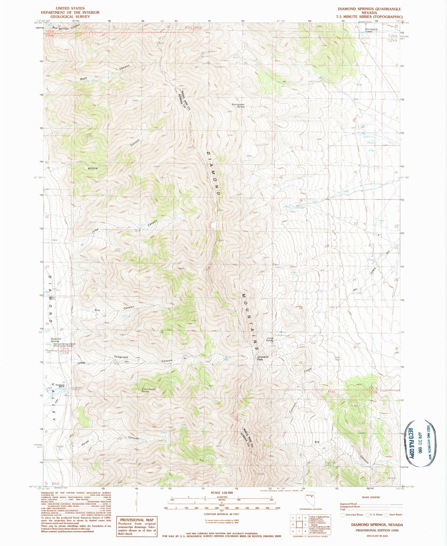
Classic USGS Diamond Springs Nevada 7.5'x7.5' Topo Map
Couldn't load pickup availability
Historical USGS topographic quad map of Diamond Springs in the state of Nevada. Map scale may vary for some years, but is generally around 1:24,000. Print size is approximately 24" x 27"
This quadrangle is in the following counties: Eureka, White Pine.
The map contains contour lines, roads, rivers, towns, and lakes. Printed on high-quality waterproof paper with UV fade-resistant inks, and shipped rolled.
Contains the following named places: Alba Spring, Big Canyon, Birch, Birch Post Office, Carpenter Spring, Corta Spring, Cottonwood Spring, Cox Canyon, Cupperville, Diammond Springs Station, Diamond Springs, Duck Pond, Echemendy Number Eight, Echemendy Number Five, Echemendy Number Nine, Echemendy Number Seven, Echemendy Number Six, Echemendy Number Ten, Headwaters Springs, Heath Spring, Horse Canyon, Huntington Creek Mining Area, Ivirs City, Judd Canyon, Meadow Springs, Murray Spring, Overland Pass, Portuguese Spring, Rock Springs, Telegraph Canyon, Thompson Ranch, Thompson Ranch Spring


