MyTopo
Classic USGS Diamond Swamp Oregon 7.5'x7.5' Topo Map
Regular price
$16.95
Regular price
Sale price
$16.95
Unit price
per
Couldn't load pickup availability
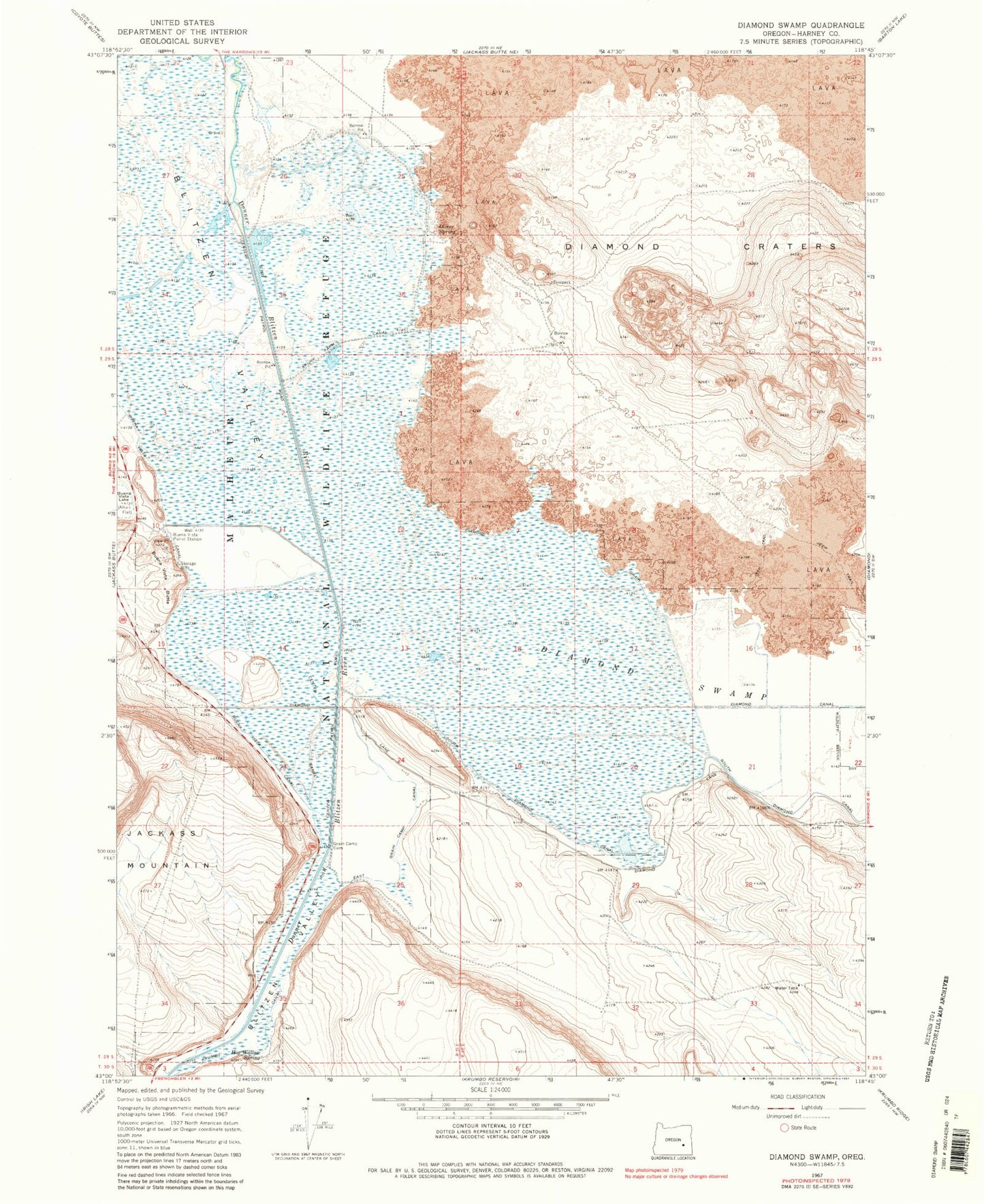
Historical USGS topographic quad map of Diamond Swamp in the state of Oregon. Map scale may vary for some years, but is generally around 1:24,000. Print size is approximately 24" x 27"
This quadrangle is in the following counties: Harney.
The map contains contour lines, roads, rivers, towns, and lakes. Printed on high-quality waterproof paper with UV fade-resistant inks, and shipped rolled.
Contains the following named places: Anderson Ranch, Buena Vista Butte, Buena Vista Patrol Station, Center Canal, Diamond Craters, Diamond Drain, Diamond Swamp, East Grain Camp Canal, Grain Camp, Grain Camp Dam, Hog Wallow Spring, Oliver Spring, Skunk Farm Canal, South Diamond Canal, Unit Nine Pond