MyTopo
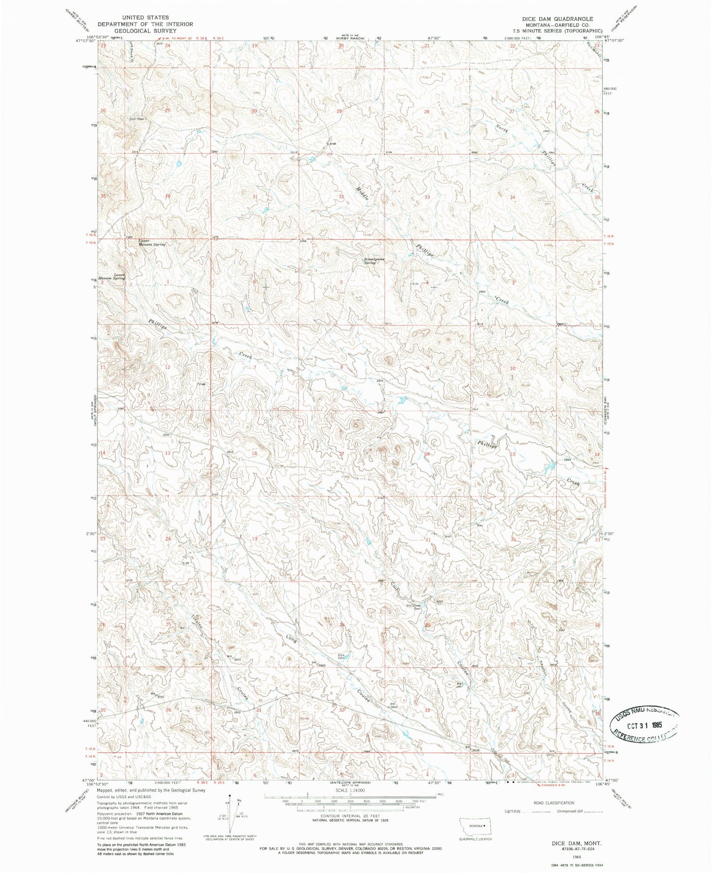
Classic USGS Dice Dam Montana 7.5'x7.5' Topo Map
Regular price
$16.95
Regular price
Sale price
$16.95
Unit price
per
Couldn't load pickup availability
Historical USGS topographic quad map of Dice Dam in the state of Montana. Map scale may vary for some years, but is generally around 1:24,000. Print size is approximately 24" x 27"
This quadrangle is in the following counties: Garfield.
The map contains contour lines, roads, rivers, towns, and lakes. Printed on high-quality waterproof paper with UV fade-resistant inks, and shipped rolled.
Contains the following named places: 15N38E13CACB01 Well, Beecher Number 5 Dam, Dice Dam, Lower Hanson Spring, Old Stove Dam, Seventynine Spring, South Garfield Division, Upper Hanson Spring