MyTopo
Classic USGS Dierks Arkansas 7.5'x7.5' Topo Map
Couldn't load pickup availability
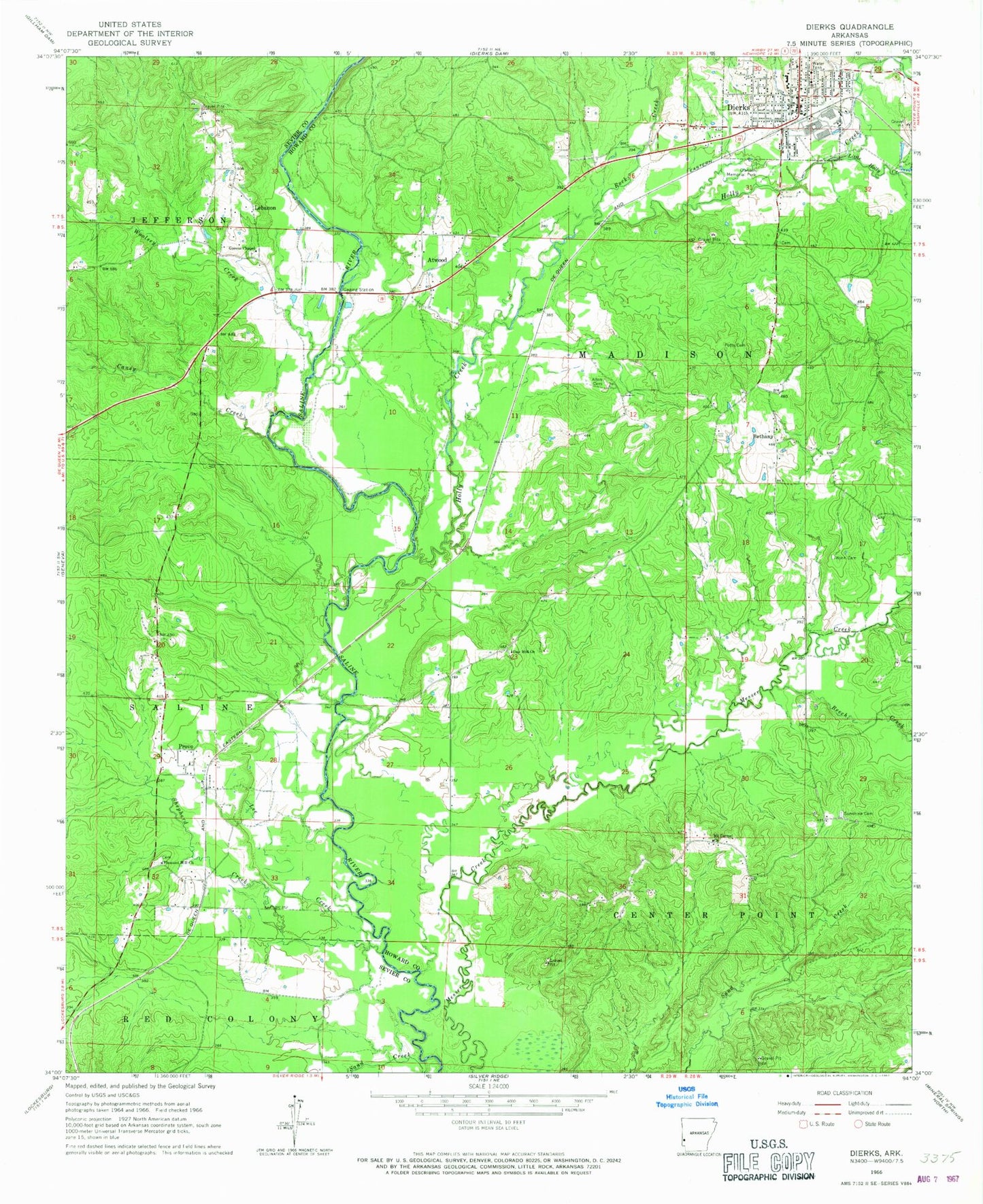
Historical USGS topographic quad map of Dierks in the state of Arkansas. Map scale may vary for some years, but is generally around 1:24,000. Print size is approximately 24" x 27"
This quadrangle is in the following counties: Howard, Sevier.
The map contains contour lines, roads, rivers, towns, and lakes. Printed on high-quality waterproof paper with UV fade-resistant inks, and shipped rolled.
Contains the following named places: Allen Cemetery, Atwood, Beech Creek, Bethany, Bethany Baptist Church, Browns School, Caney Creek, City of Dierks, Clanson Memorial Park, Cross Roads School, Dierks, Dierks Elementary School, Dierks High School, Dierks Police Department, Dierks Post Office, Dierks Volunteer Fire Department, Duck Pond, Greens Chapel Cemetery, Greens Chapel Methodist Church, Greens Chapel Volunteer Fire Department, Holly Creek, Hoodinpile Ford, Independence School, Joann Walters Elementary School, Kolb Ford, Lebanon, Lee Creek, Little Holly Creek, Martha, Mount Carmel, Mount Carmel Church, Oak Hill, Oak Hill Church, Piney Grove School, Piney Park School, Piney Ridge School, Pleasant Hill Church, Pleasant Hill School, Possum Hollow School, Potts Cemetery, Provo, Provo Volunteer Fire Department, Rock Creek, Salt Works Bridge, Shepherd Creek, Sunshine, Sunshine Cemetery, Sunshine Methodist Church, Township of Madison, Woolsey Creek, Woolsey School, Wynn Cemetery