MyTopo
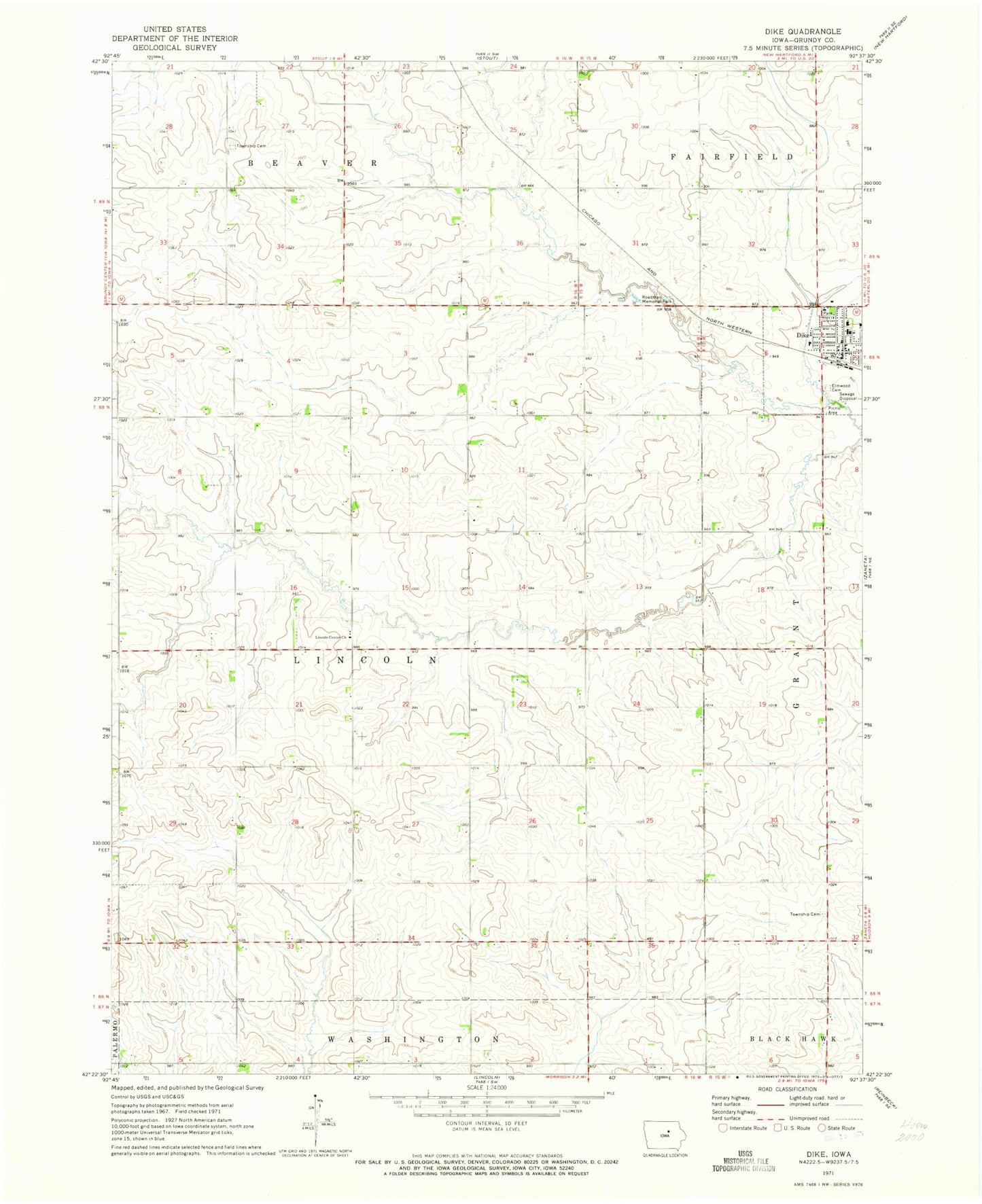
Classic USGS Dike Iowa 7.5'x7.5' Topo Map
Couldn't load pickup availability
Historical USGS topographic quad map of Dike in the state of Iowa. Map scale may vary for some years, but is generally around 1:24,000. Print size is approximately 24" x 27"
This quadrangle is in the following counties: Grundy.
The map contains contour lines, roads, rivers, towns, and lakes. Printed on high-quality waterproof paper with UV fade-resistant inks, and shipped rolled.
Contains the following named places: Arrow Post Office, Beaver Township Cemetery, City of Dike, Dairyville, Dairyville Post Office, Dike, Dike - New Hartford High School, Dike City Hall, Dike Elementary School, Dike Fire Department and Rescue, Dike Post Office, Dike Public Library, Elmwood Cemetery, Farmers Cooperative Company Elevator, Grant Township Cemetery, KGCI-FM (Grundy Center), Liberty Baptist Church, Lincoln, Lincoln Centre Post Office, Lincoln Township Cemetery, Roadman Memorial Park, Saint Mary's Catholic Church, Sinclair, South Fork Blackhawk Creek, Swanton, Township of Lincoln, Triple J Airport, United Methodist Church, ZIP Code: 50624