MyTopo
Classic USGS Dilia New Mexico 7.5'x7.5' Topo Map
Couldn't load pickup availability
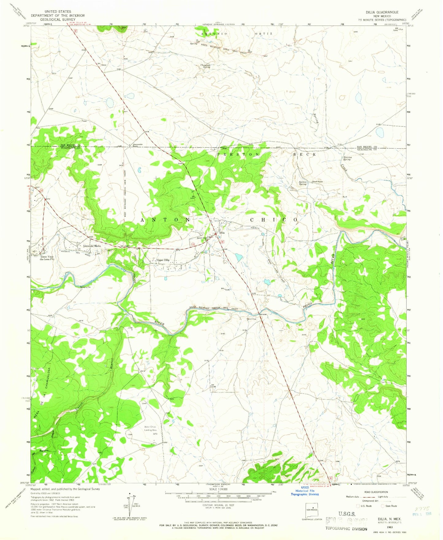
Historical USGS topographic quad map of Dilia in the state of New Mexico. Map scale may vary for some years, but is generally around 1:24,000. Print size is approximately 24" x 27"
This quadrangle is in the following counties: Guadalupe, San Miguel.
The map contains contour lines, roads, rivers, towns, and lakes. Printed on high-quality waterproof paper with UV fade-resistant inks, and shipped rolled.
Contains the following named places: Abercrombie Ranch, Acequia del Bodo Juan Paiz, Canon Blanco, Canon de Rancho Alegre, Chupinas Spring, Dilia, Dilia Post Office, Dilia Weather Station, Estritos Spring, La Loma Post Office, Llano Del Medio, Llano del Medio Census Designated Place, Sacred Heart Church, Salitre Spring, Sowell Ranch, Spring Creek, Upper Dilia, ZIP Codes: 87711, 87724