MyTopo
Classic USGS Dillon Mountain California 7.5'x7.5' Topo Map
Couldn't load pickup availability
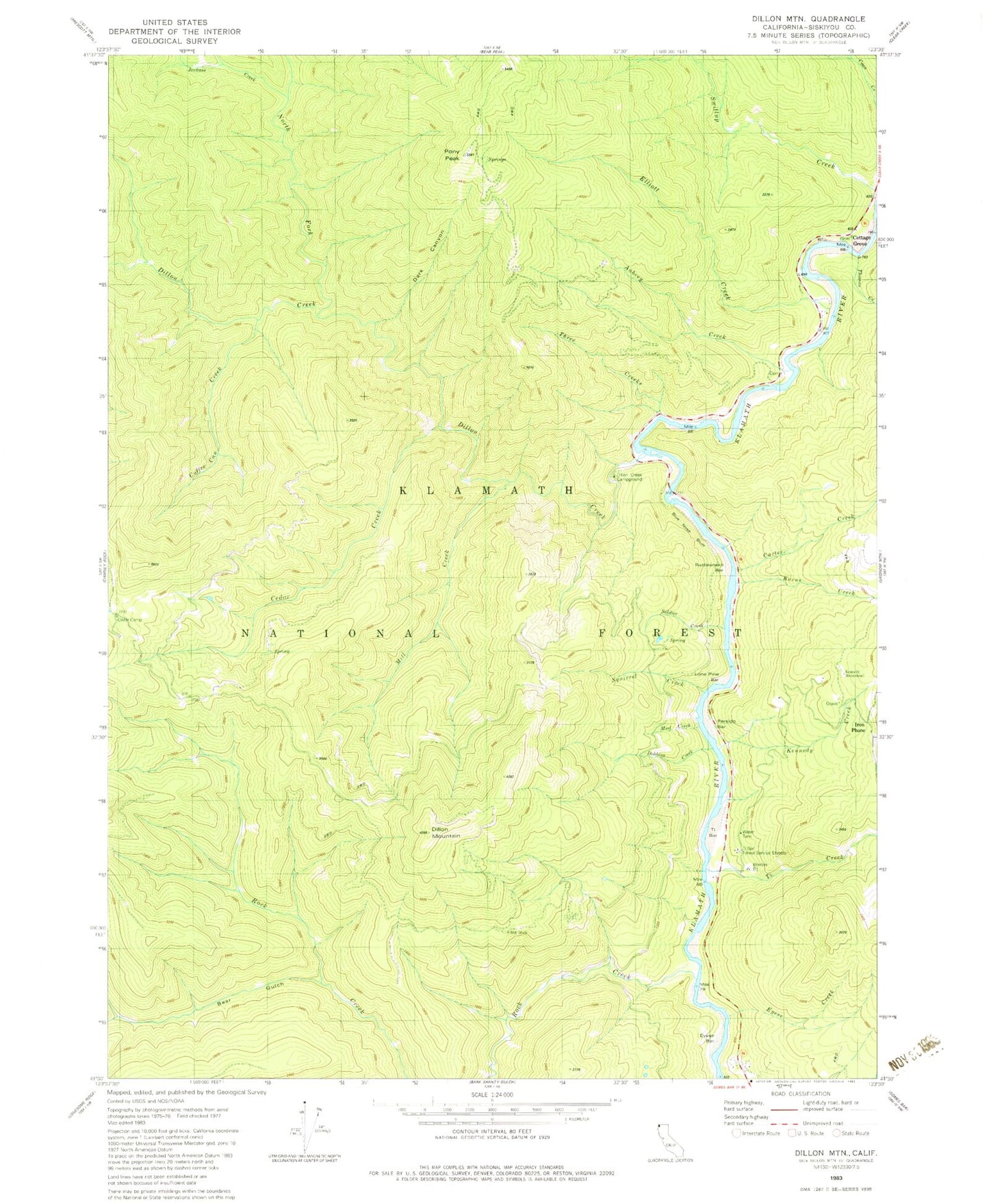
Historical USGS topographic quad map of Dillon Mountain in the state of California. Map scale may vary for some years, but is generally around 1:24,000. Print size is approximately 24" x 27"
This quadrangle is in the following counties: Siskiyou.
The map contains contour lines, roads, rivers, towns, and lakes. Printed on high-quality waterproof paper with UV fade-resistant inks, and shipped rolled.
Contains the following named places: Aubrey Cemetery, Aubrey Creek, Bear Gulch, Blue Nose Bluff, Blue Nose Mine, Burns Creek, Carter Creek, Cedar Creek, Coffee Can Creek, Cottage Grove, Dark Canyon, Dillion Creek Campground, Dillon Creek, Dillon Mountain, Dobbins Creek, Elliott Creek, Eyese Bar, Eyese Creek, Iron Phone, Jackass Creek, Kennedy Creek, Kennedy Homestead, Lone Pine Bar, Mill Creek, Mud Creek, North Fork Dillon Creek, Patsiluvra, Persido Bar, Pony Peak, Rattlesnake Bar, Rock Creek, Soldier Creek, Squirrel Creek, Swillup Creek, Thomas Creek, Three Creeks, Ti Bar, Ti Bar Forest Service Station, Ti Bar School, Ti Creek