MyTopo
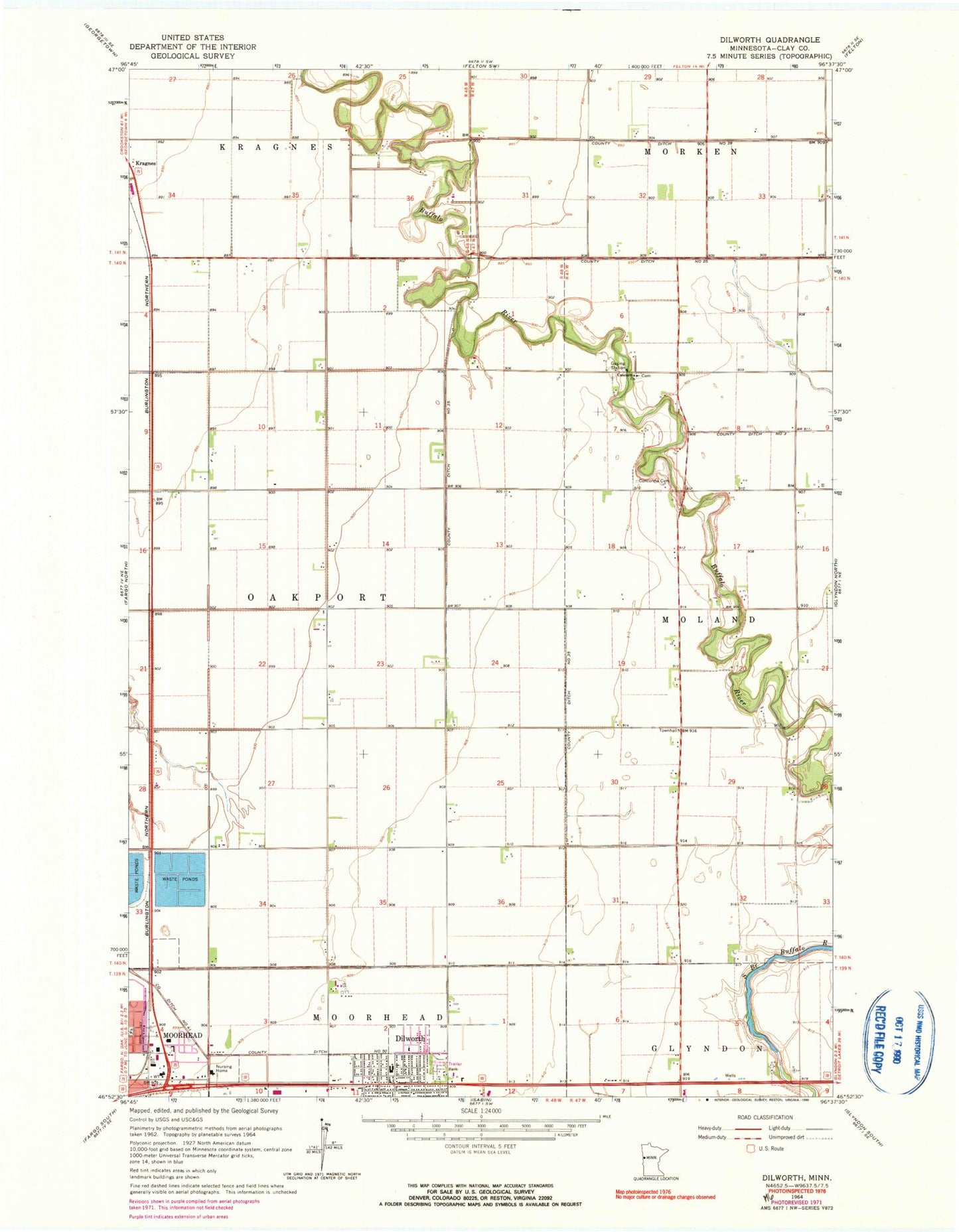
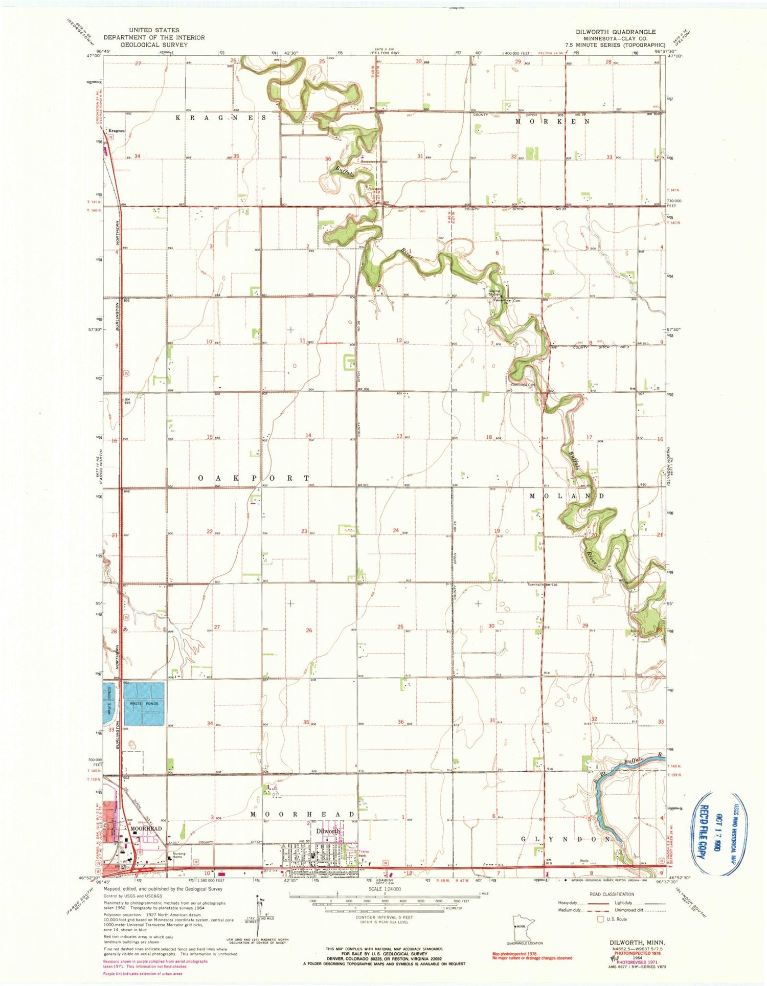
Classic USGS Dilworth Minnesota 7.5'x7.5' Topo Map
Couldn't load pickup availability
Historical USGS topographic quad map of Dilworth in the state of Minnesota. Map scale may vary for some years, but is generally around 1:24,000. Print size is approximately 24" x 27"
This quadrangle is in the following counties: Clay.
The map contains contour lines, roads, rivers, towns, and lakes. Printed on high-quality waterproof paper with UV fade-resistant inks, and shipped rolled.
Contains the following named places: Apostolic Bible Church, Arrowhead Park, Believer's Fellowship Church, Belmont Baptist Church, Birch Tree Park, Bulane Park, Centennial Park, City of Dilworth, Concordia Cemetery, Concordia Church, Constitution Park, County Ditch Number Fifty, County Ditch Number Fortyone, County Ditch Number Thirtyfive, Dilworth, Dilworth City Depot, Dilworth City Hall, Dilworth Community Hall, Dilworth Fire Department, Dilworth Glyndon Felton Schools, Dilworth Lutheran Church, Dilworth Police Department, Dilworth Post Office, Dilworth Presbyterian Church, Dilworth Trailer Park, Easten Mall, Faith Mennonite Church, Jerger's Field, Moorhead Health Care Center, Moorhead Softball Diamonds, Northeast Park, Park Lane Mobile Home Park, Saint Elizabeth Church, Township of Oakport, Walnut Park, Whistle Stop Park, ZIP Code: 56529