MyTopo
Classic USGS Ding Dong Texas 7.5'x7.5' Topo Map
Couldn't load pickup availability
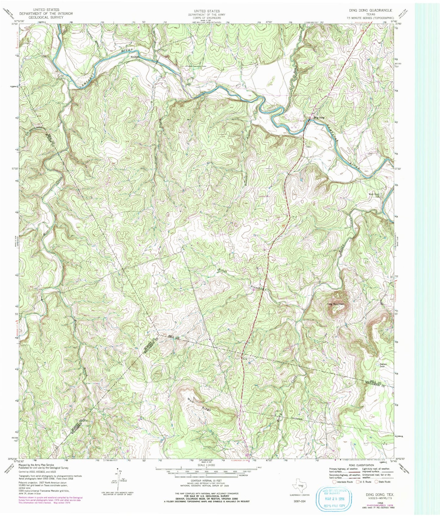
Historical USGS topographic quad map of Ding Dong in the state of Texas. Map scale may vary for some years, but is generally around 1:24,000. Print size is approximately 24" x 27"
This quadrangle is in the following counties: Bell, Burnet, Williamson.
The map contains contour lines, roads, rivers, towns, and lakes. Printed on high-quality waterproof paper with UV fade-resistant inks, and shipped rolled.
Contains the following named places: Bennett Branch, Ding Dong, Fisher Ranch Airport, Gann Branch, Glover Branch, Hog Mountain, Indian Lake, Maxdale, Maxdale Community Center, McDaniel Branch, Mill Creek, Reese Creek, Rock Creek Church, Rocky Creek, Southwest Bell County Fire Station, Southwest Bell Division, Sycamore Branch, Tom Adams Hollow, White Airport, Wilson Branch, Wolf Ridge