
MyTopo
Classic USGS Dinner Island NE Florida 7.5'x7.5' Topo Map
Regular price
$16.95
Regular price
Sale price
$16.95
Unit price
per
Couldn't load pickup availability
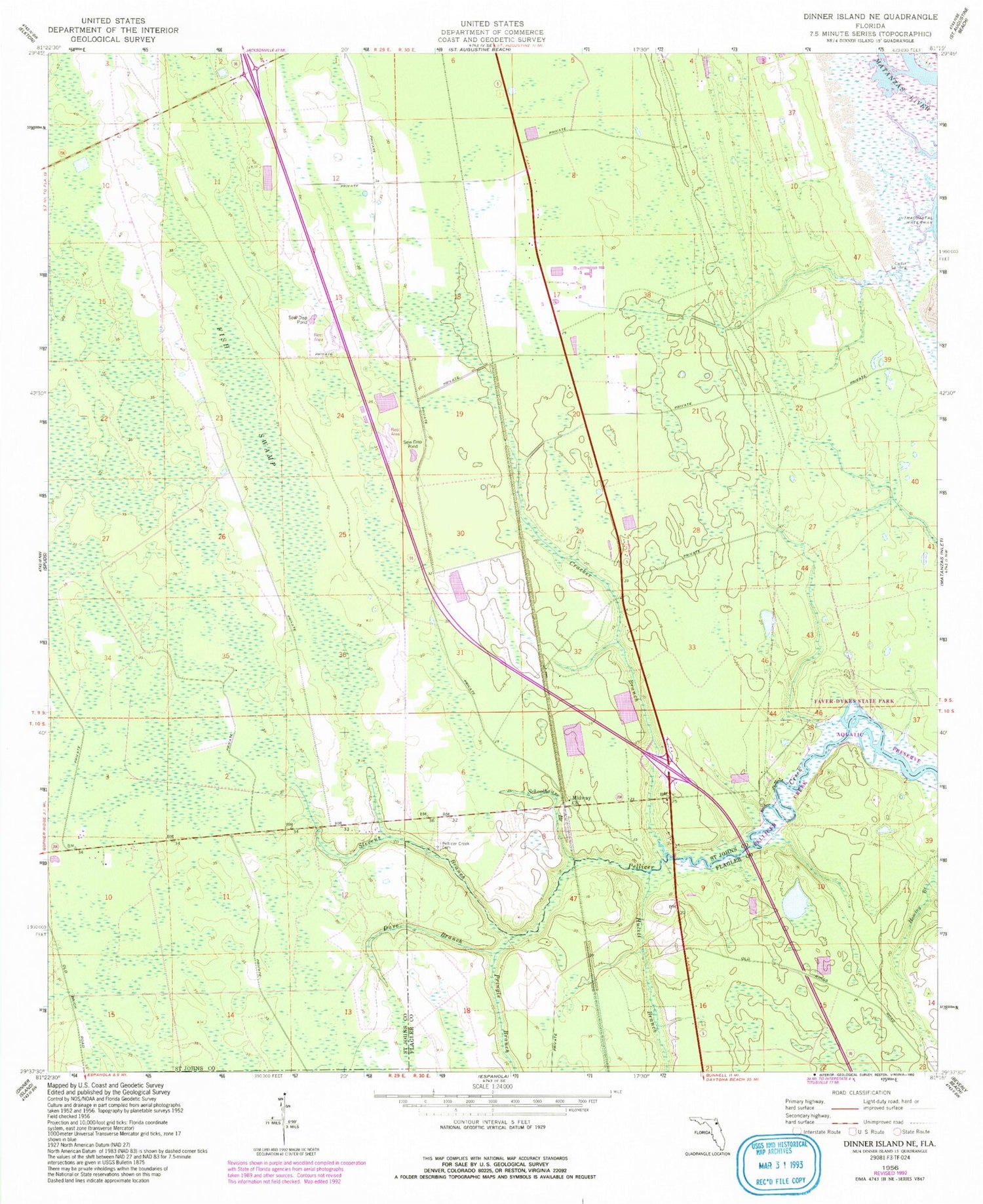
Historical USGS topographic quad map of Dinner Island NE in the state of Florida. Map scale may vary for some years, but is generally around 1:24,000. Print size is approximately 24" x 27"
This quadrangle is in the following counties: Flagler, St. Johns.
The map contains contour lines, roads, rivers, towns, and lakes. Printed on high-quality waterproof paper with UV fade-resistant inks, and shipped rolled.
Contains the following named places: Cedar Landing, Cracker Branch, Dave Branch, Fish Swamp, Hulett Branch, Matanzas Division, Midway Church, Pellicer Creek Cemetery, Pringle Branch, Schoolhouse Branch, Stevens Branch


