MyTopo
Classic USGS Dinosaur Quarry Utah 7.5'x7.5' Topo Map
Regular price
$16.95
Regular price
Sale price
$16.95
Unit price
per
Couldn't load pickup availability
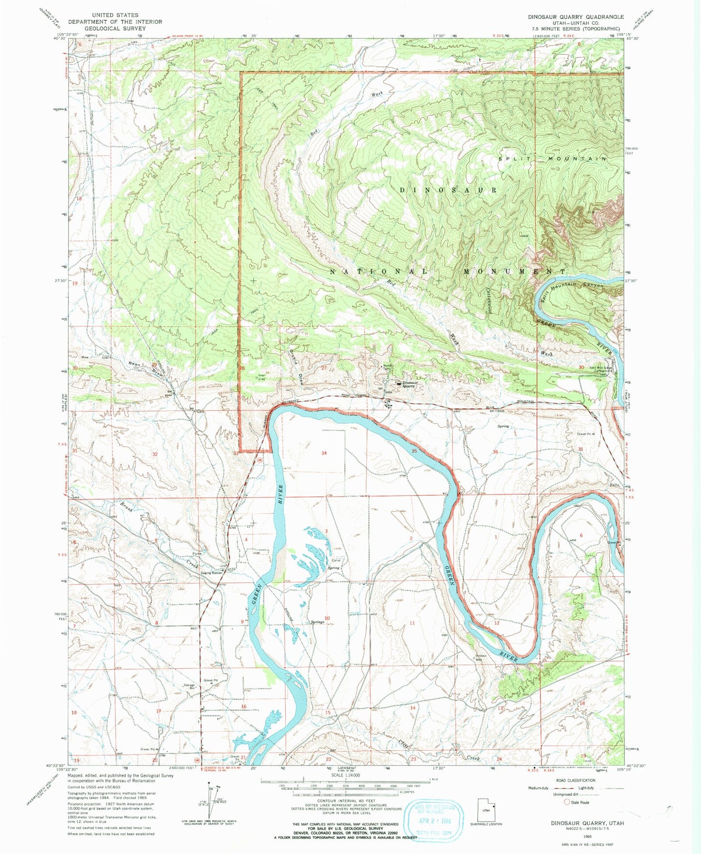
Historical USGS topographic quad map of Dinosaur Quarry in the state of Utah. Map scale may vary for some years, but is generally around 1:24,000. Print size is approximately 24" x 27"
This quadrangle is in the following counties: Uintah.
The map contains contour lines, roads, rivers, towns, and lakes. Printed on high-quality waterproof paper with UV fade-resistant inks, and shipped rolled.
Contains the following named places: 3-I Rocker Ranch Airport, Bean Draw, Brush Creek, Cliff Creek, Cottonwood Wash, Dinosaur Quarry, Escalante Crossing, Jensen Cemetery, Orchid Draw, Red Rock Nature Trail, Red Wash, Split Mountain Canyon, Split Mountain Gorge Campground