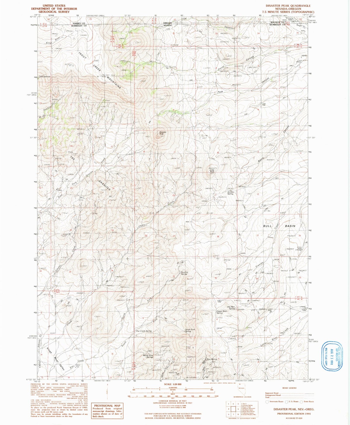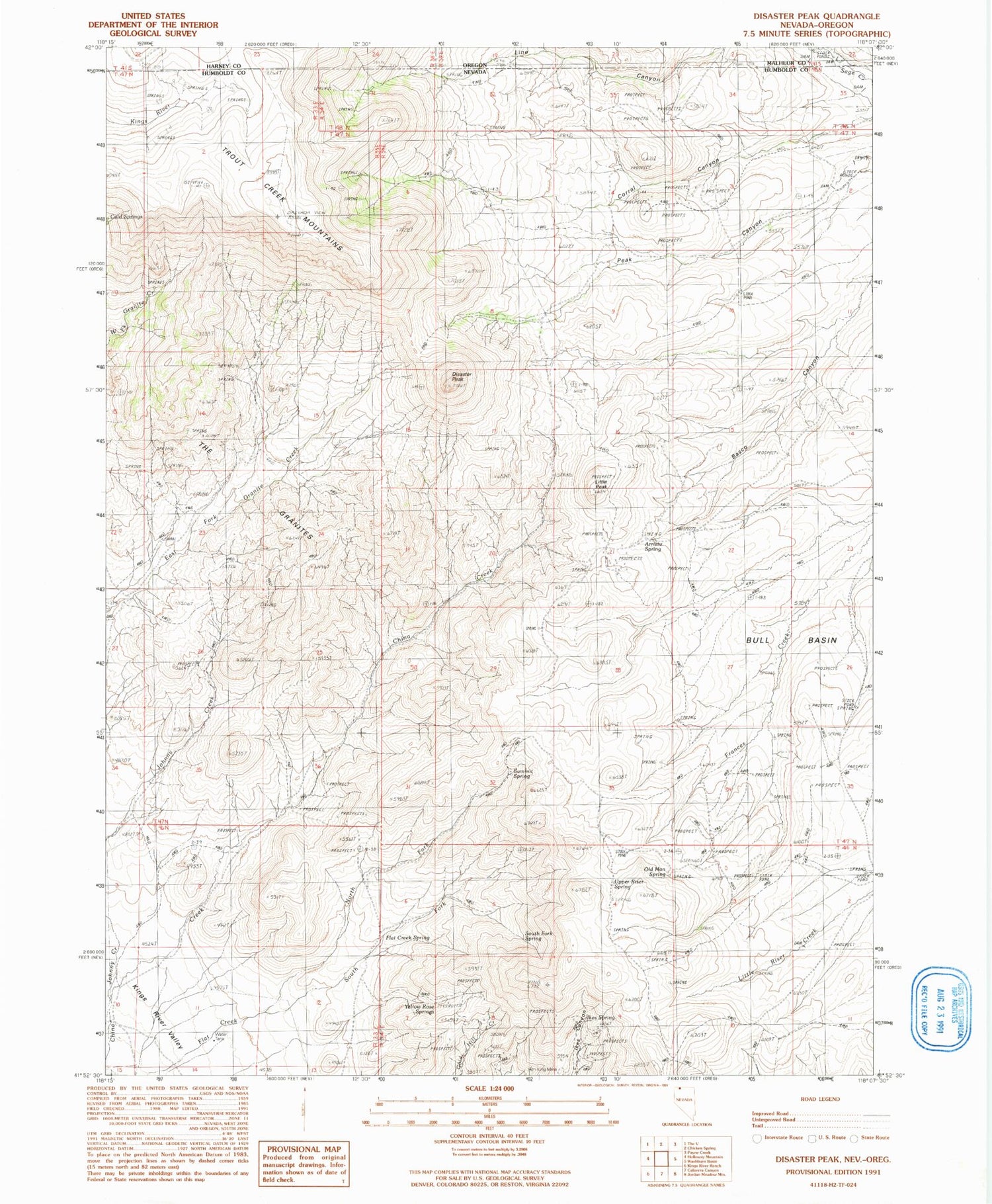
MyTopo
Classic USGS Disaster Peak Nevada 7.5'x7.5' Topo Map
Couldn't load pickup availability
Historical USGS topographic quad map of Disaster Peak in the states of Nevada, Oregon. Map scale may vary for some years, but is generally around 1:24,000. Print size is approximately 24" x 27"
This quadrangle is in the following counties: Harney, Humboldt, Malheur.
The map contains contour lines, roads, rivers, towns, and lakes. Printed on high-quality waterproof paper with UV fade-resistant inks, and shipped rolled.
Contains the following named places: Arristu Spring, Bull Basin, Corral Canyon, Disaster Mining District, Disaster Peak, Flat Creek Spring, Ikes Spring, Iron King Mine, Line Canyon, Little Peak, North Fork Flat Creek, Old Man Spring, Peak Canyon, Perry Boyd Ranch, South Fork Flat Creek, South Fork Spring, Summit Spring, The Granites, Upper Riser Spring, Yellow Rose Springs