MyTopo
Classic USGS Dishpan Butte Wyoming 7.5'x7.5' Topo Map
Regular price
$16.95
Regular price
Sale price
$16.95
Unit price
per
Couldn't load pickup availability
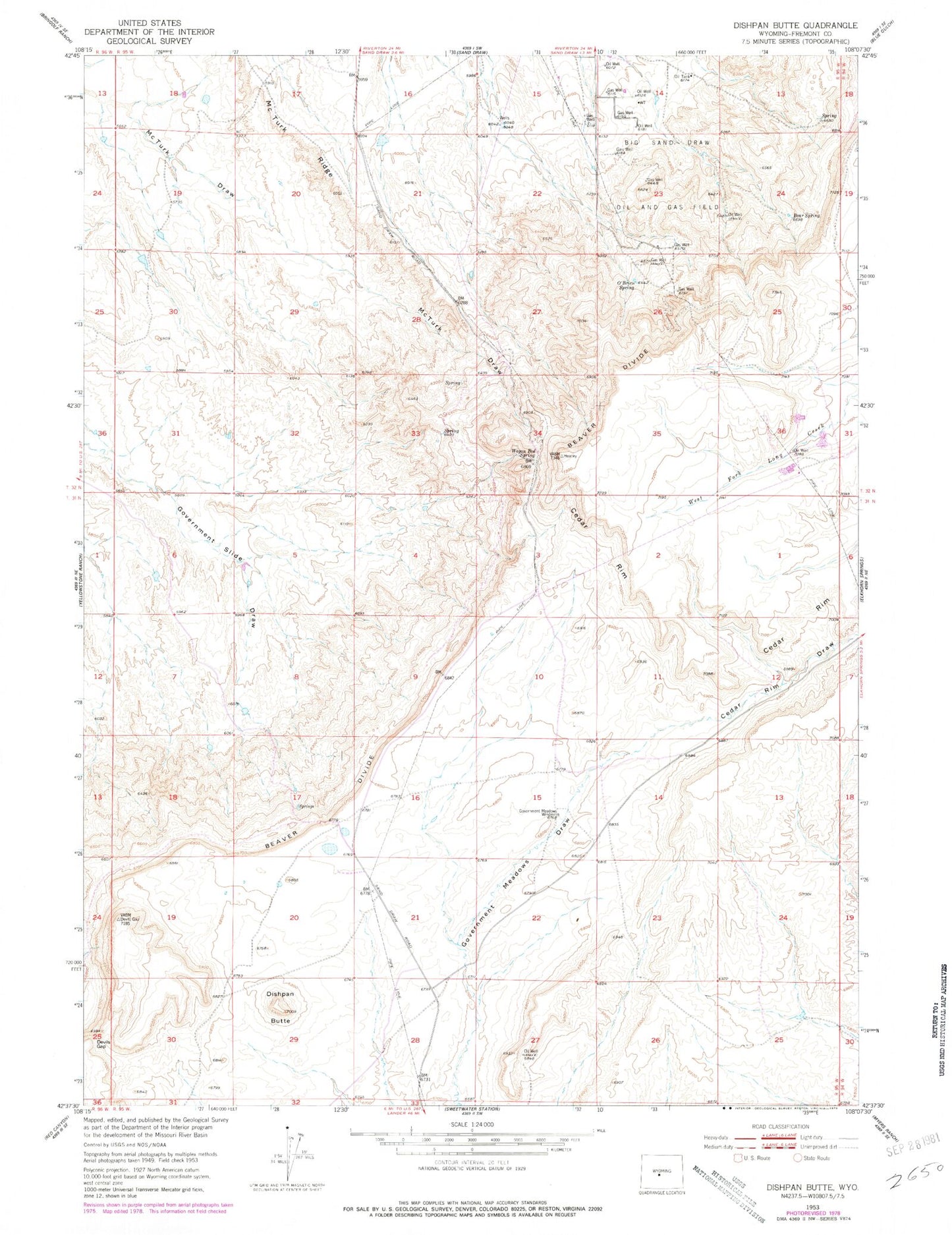
Historical USGS topographic quad map of Dishpan Butte in the state of Wyoming. Map scale may vary for some years, but is generally around 1:24,000. Print size is approximately 24" x 27"
This quadrangle is in the following counties: Fremont.
The map contains contour lines, roads, rivers, towns, and lakes. Printed on high-quality waterproof paper with UV fade-resistant inks, and shipped rolled.
Contains the following named places: Bear Spring, Bearspring Area Mine, Beaver Divide Mine, Cedar Rim, Cedar Rim Draw, Devils Gap, Dishpan Butte, Franciscan Claims, Government Meadows Windmill, KTAK-FM (Riverton), KTRZ-FM (Riverton), O'Brien Spring, Prodigy Hill, Wagon Bed Spring, Zelda Mine