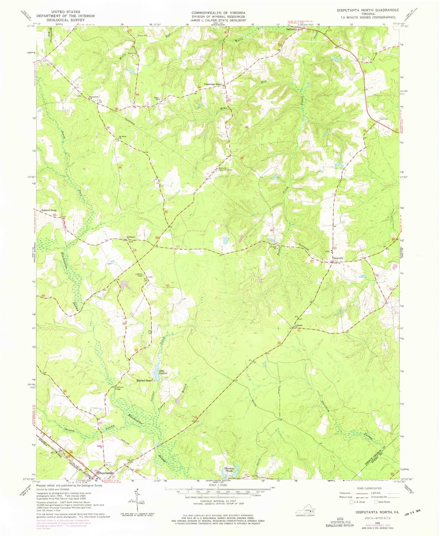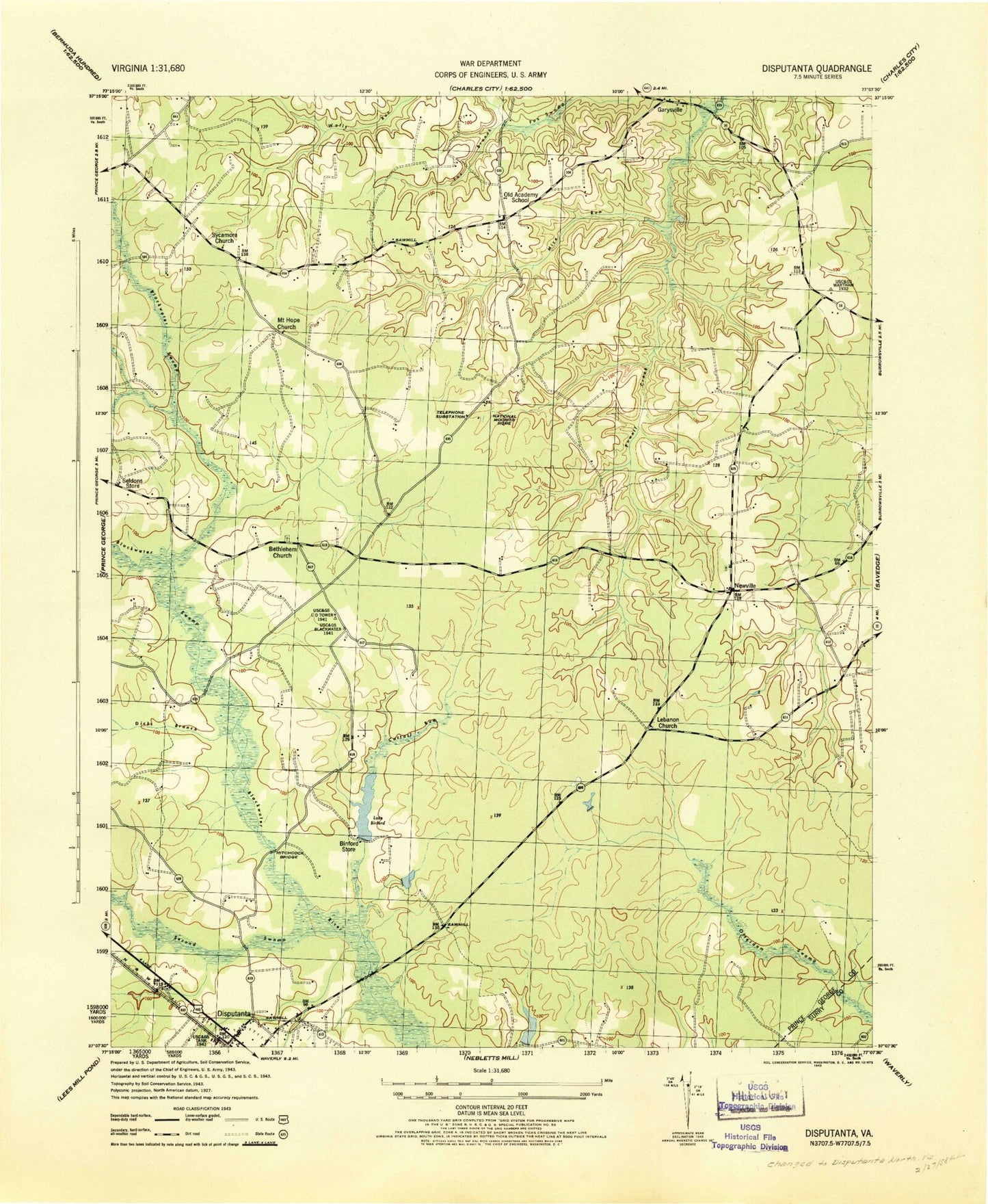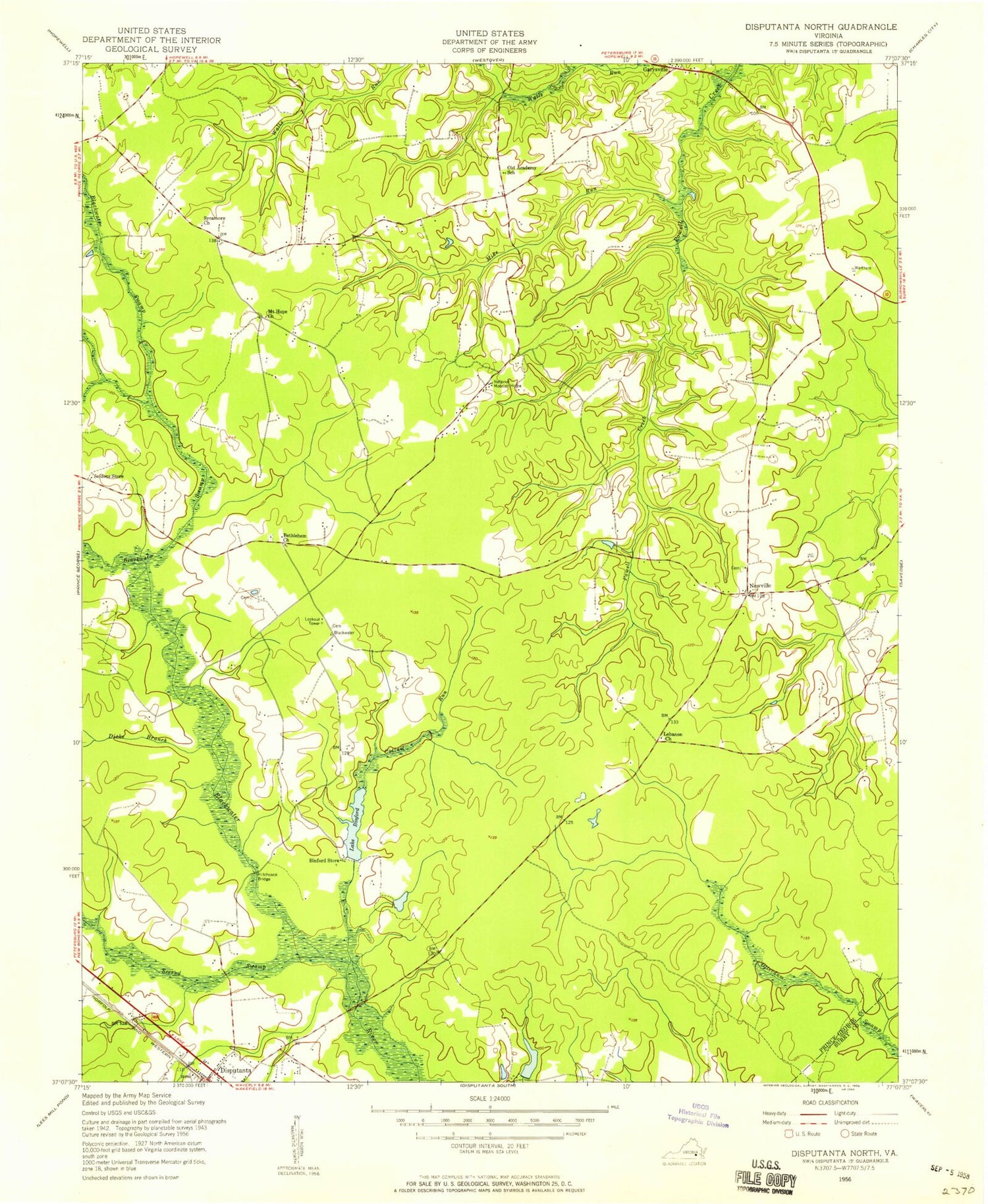
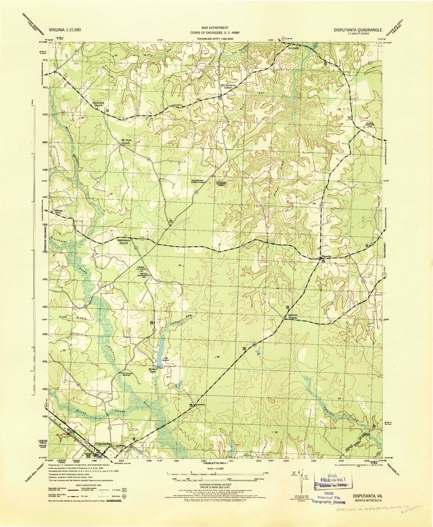
MyTopo
Classic USGS Disputanta North Virginia 7.5'x7.5' Topo Map
Couldn't load pickup availability
Historical USGS topographic quad map of Disputanta North in the state of Virginia. Map scale may vary for some years, but is generally around 1:24,000. Print size is approximately 24" x 27"
This quadrangle is in the following counties: Prince George, Surry.
The map contains contour lines, roads, rivers, towns, and lakes. Printed on high-quality waterproof paper with UV fade-resistant inks, and shipped rolled.
Contains the following named places: Appomattox Regional Library System Burrowsville Library, Bethlehem Church, Bethlehem Congregational Church Cemetery, Binford Dam, Binford Store, Blackwater District, Blackwater School, Blackwater School Number 6, Cattail Creek, Charity Baptist Church, Comers Branch, Cummings Store, David A Harrison Elementary School, Dicks Branch, Disputanta Volunteer Fire Department - Company 2, Garysville, Hitchcock, Hitchcock Bridge, Honnicutt School, Lake Binford, Lebanon Cemetery, Lebanon Church, Mike Run, Mount Hope Church, National Moorish Home, New Grove Church, Newville, Newville Cemetery, Newville Methodist Church, North Elementary School, North Fork Blackwater Swamp, Old Academy School, Prince George County, School Number 2, Second Swamp, Seldons Store, Star Hill School, Sycamore Church, Sycamore School Number 3, Thackets Ponds, Trinity United Methodist Church, Zion Union Church, ZIP Code: 23842