MyTopo
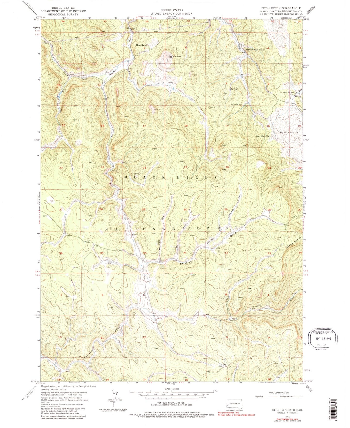
Classic USGS Ditch Creek South Dakota 7.5'x7.5' Topo Map
Couldn't load pickup availability
Historical USGS topographic quad map of Ditch Creek in the state of South Dakota. Map scale may vary for some years, but is generally around 1:24,000. Print size is approximately 24" x 27"
This quadrangle is in the following counties: Pennington.
The map contains contour lines, roads, rivers, towns, and lakes. Printed on high-quality waterproof paper with UV fade-resistant inks, and shipped rolled.
Contains the following named places: Accidental Mine, Copper Mountain Gravel Pit, Ditch Creek, Ditch Creek Gampground, Four Corners Well, Fox Flat, Gillette Well, Grand Vista Draw, Green Mountain, Green Mountain Spring, Hat Mountain, Hay Draw, Heely Creek, Herman Matt Ranch, Hoar Ranch, Kimballs Ranch, Long Draw, Miller Camp, Montezuma, Odakota Mountain, Pole Creek, Sawmill Draw, Sears Ranch, Silica Sand Mine, Sixmile Draw, Sixmile Spring, Smith Draw, Spring Creek Spring, Stan-Penn Lodge Mine, Stone Draw, Tony Matt Ranch, Unorganized Territory of West Pennington, Williams Draw, Windmill Draw


