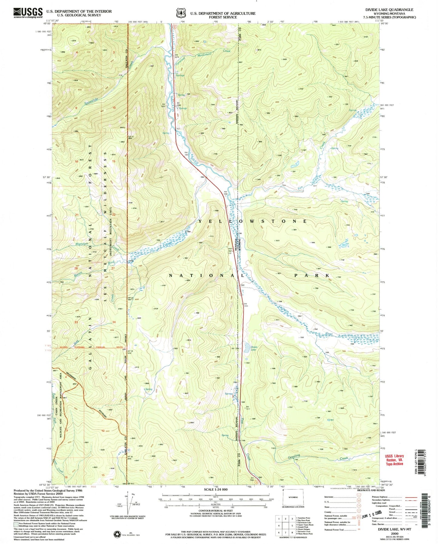
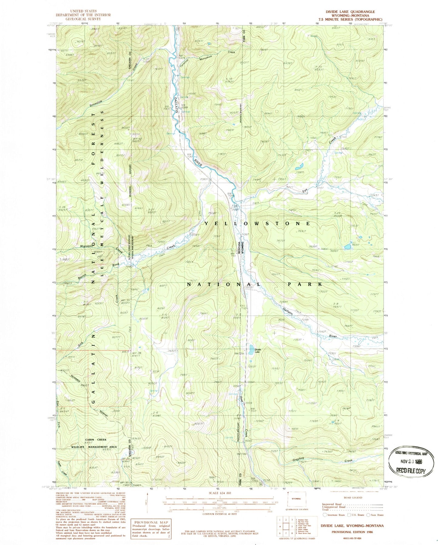
MyTopo
Classic USGS Divide Lake Wyoming 7.5'x7.5' Topo Map
Regular price
$16.95
Regular price
Sale price
$16.95
Unit price
per
Couldn't load pickup availability
Historical USGS topographic quad map of Divide Lake in the states of Wyoming, Montana. Map scale may vary for some years, but is generally around 1:24,000. Print size is approximately 24" x 27"
This quadrangle is in the following counties: Gallatin, Park.
The map contains contour lines, roads, rivers, towns, and lakes. Printed on high-quality waterproof paper with UV fade-resistant inks, and shipped rolled.
Contains the following named places: Bacon Rind Creek, Bacon Rind Creek Road Camp, Divide Lake, Fan Creek, Fawn Pass Trail, Migration Creek, Sink Creek, Snowslide Creek, Terminal Monument Creek