MyTopo
Classic USGS Dixie Idaho 7.5'x7.5' Topo Map
Couldn't load pickup availability
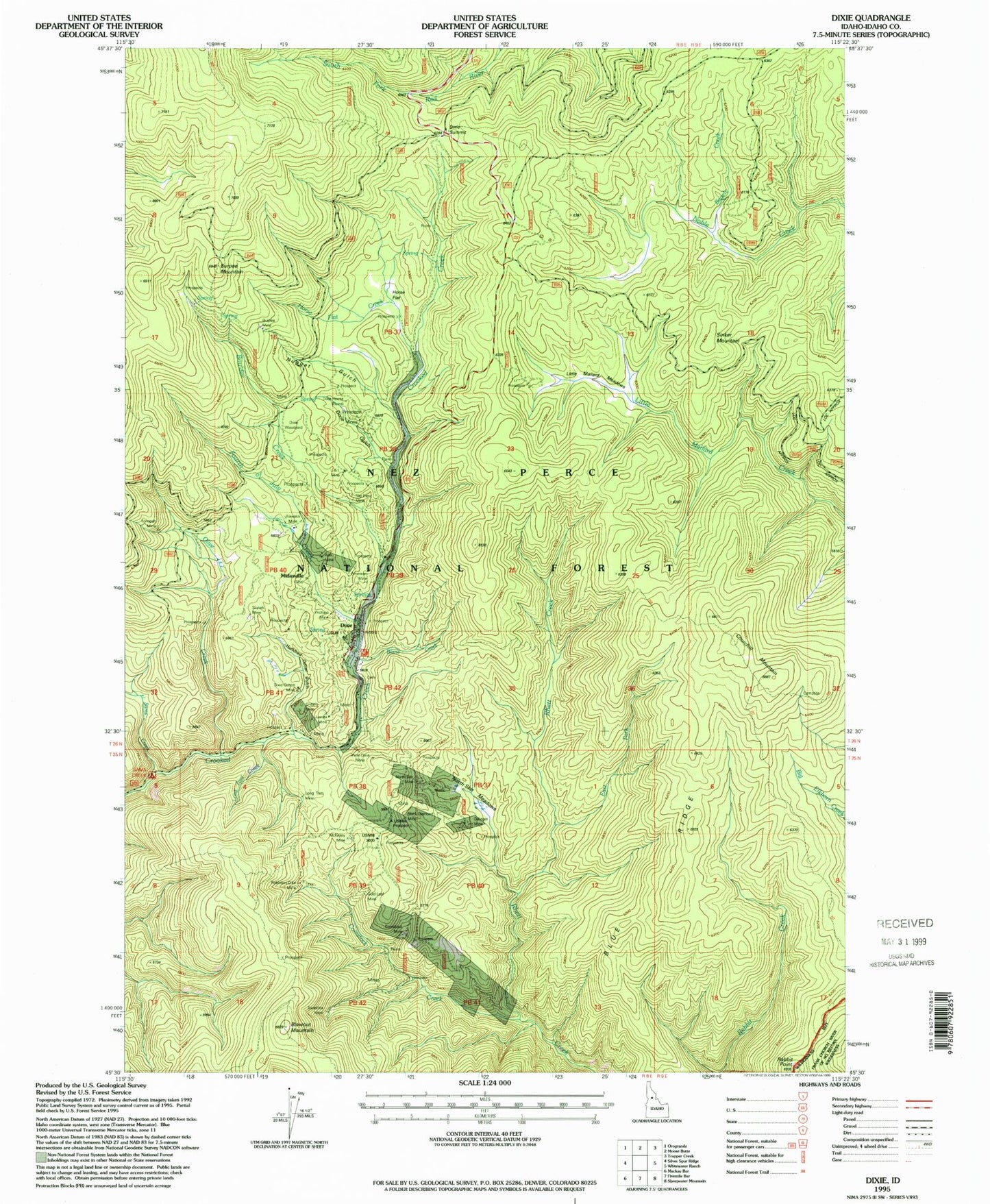
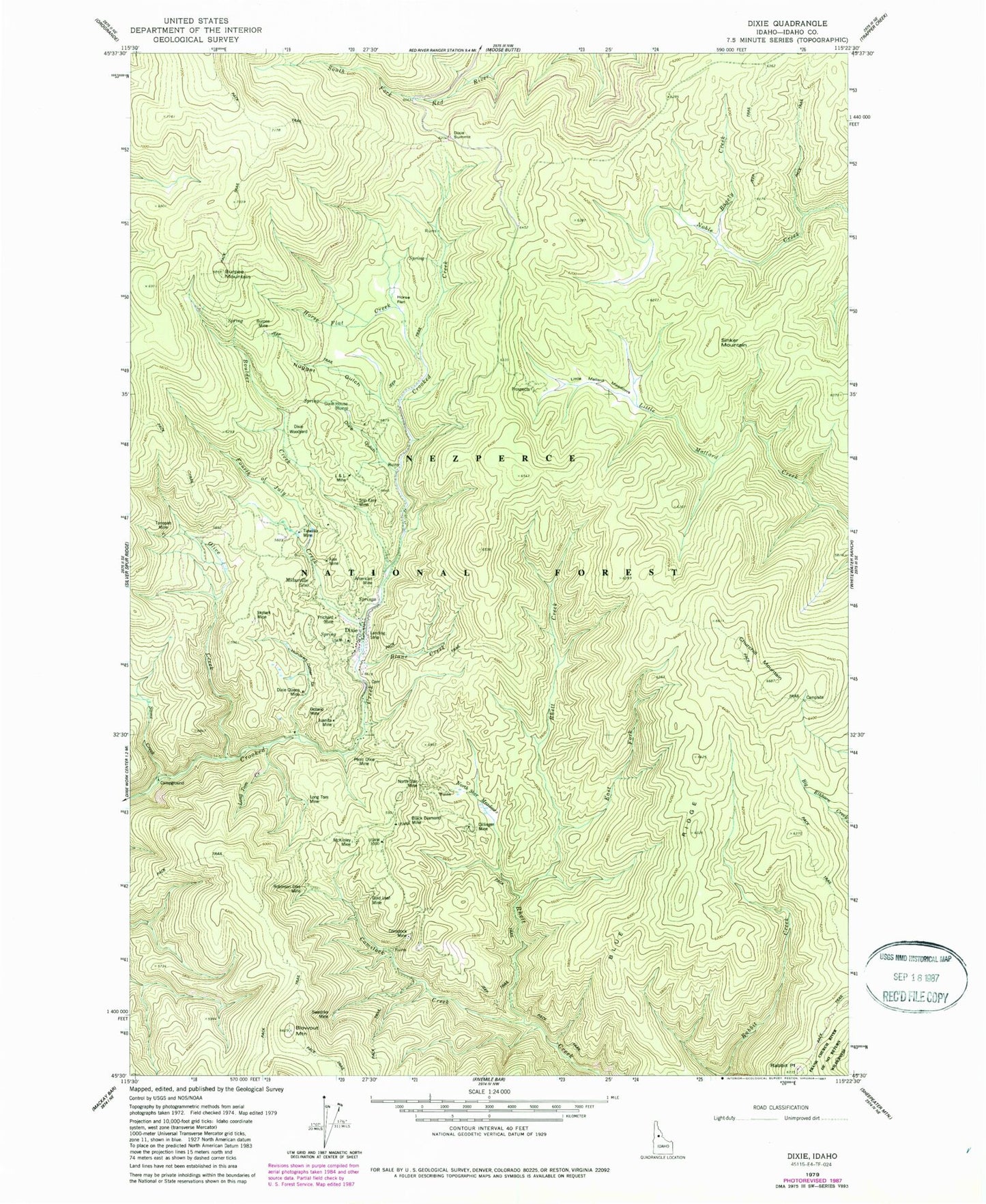
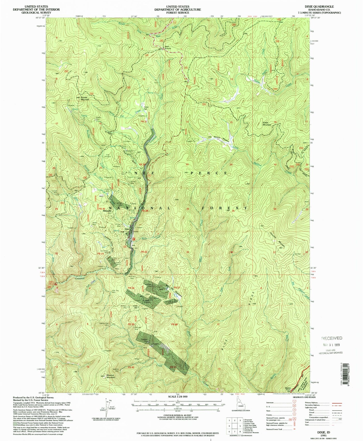
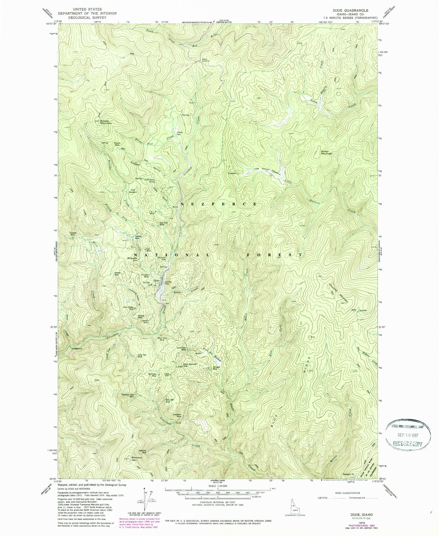
Historical USGS topographic quad map of Dixie in the state of Idaho. Typical map scale is 1:24,000, but may vary for certain years, if available. Print size: 24" x 27"
This quadrangle is in the following counties: Idaho.
The map contains contour lines, roads, rivers, towns, and lakes. Printed on high-quality waterproof paper with UV fade-resistant inks, and shipped rolled.
Contains the following named places: Ajax Mine, American Mine, Bagely Creek, Black Diamond Mine, Blane Creek, Blowout Mountain, Boulder Creek, Burpee Mine, Burpee Mountain, Comstock Creek, Comstock Mine, Crooked Creek, Dillinger Mine, Dixie Gulch, Dixie House (historical), Dixie Queen Mine (historical), Dixie Summit, Dixie Woodyard, East Fork Rhett Creek, Fourth of July Creek, Gold Leaf Mine, Horse Flat, Horse Flat Creek, Hundred Dollar Gulch, Juanita Mine, L Mine, Little Mallard Meadows, Long Tom Creek, Long Tom Mine, Lost Hunter Creek, McKinley Mine, North Star Meadows, North Star Mine, Nugget Gulch, Olive Creek, Ontario Mine, Penn Dixie Mine, Prichard Mine, Rabbit Point, Robinson Dike Mine, Sams Creek, Sams Creek Campground, Sixtyfour Mine, Skylark Mine, Slip Easy Mine, Swastika Mine, Tiawaka Mine, Toropah Mine, Churchill Mountain, Midasville, Sinker Mountain, Sams Creek Recreation Site, Dixie, Blue Ridge


