MyTopo
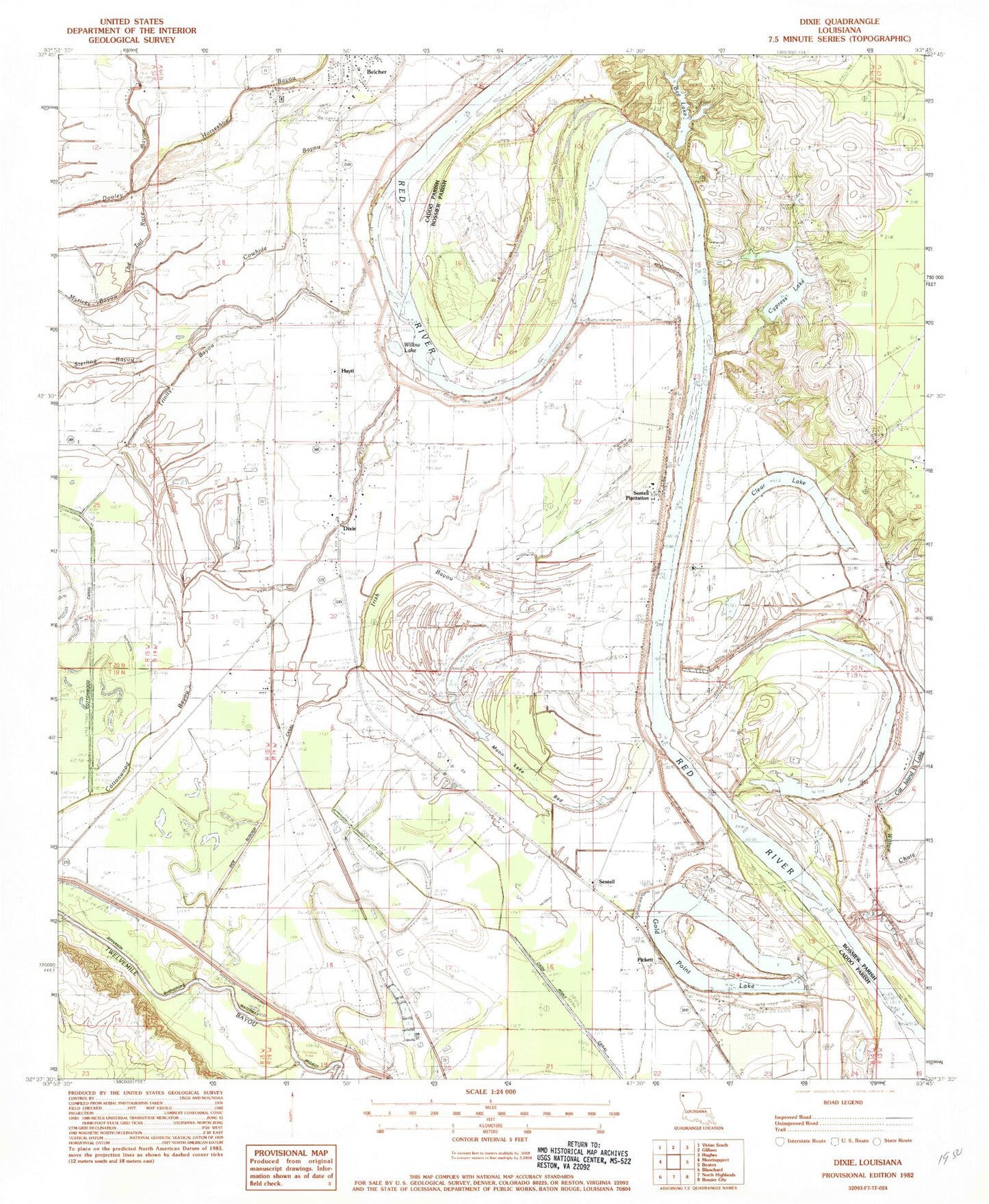
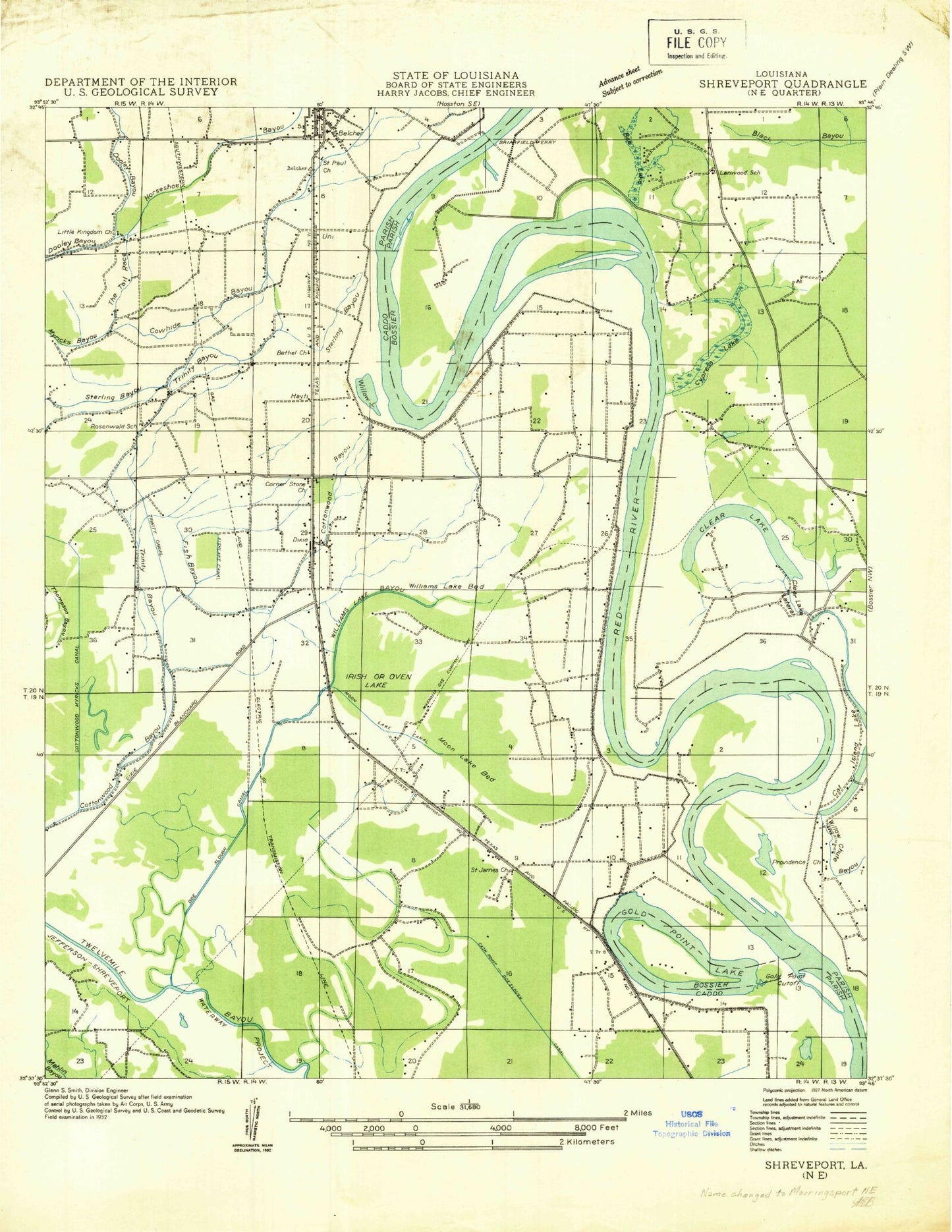
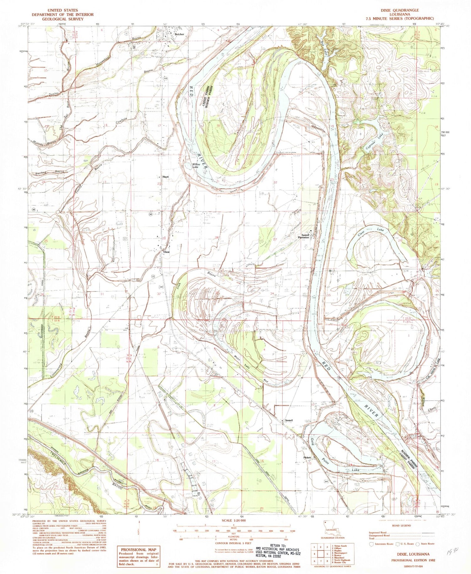
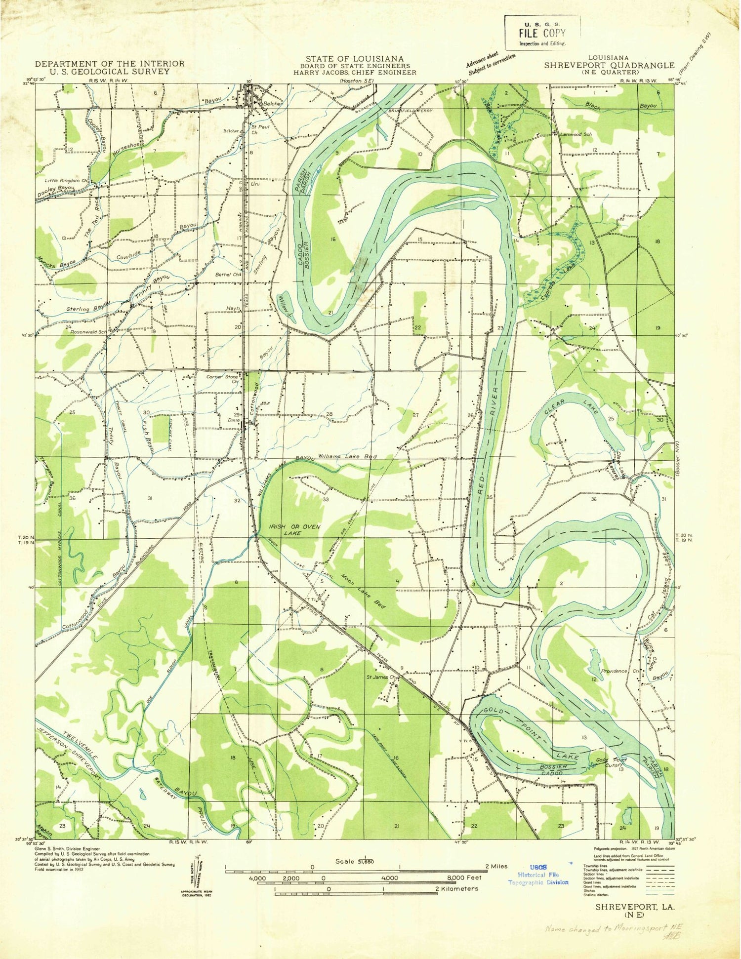
Classic USGS Dixie Louisiana 7.5'x7.5' Topo Map
Couldn't load pickup availability
Historical USGS topographic quad map of Dixie in the state of Louisiana. Map scale may vary for some years, but is generally around 1:24,000. Print size is approximately 24" x 27"
This quadrangle is in the following counties: Bossier, Caddo.
The map contains contour lines, roads, rivers, towns, and lakes. Printed on high-quality waterproof paper with UV fade-resistant inks, and shipped rolled.
Contains the following named places: Bee Lake, Bee Lake Dam, Belcher, Belcher Airpatch, Bethel Church, Brier Field Ferry, Caddo Prairie, Cash Point Canal, Cat Island Lake, Clear Lake, Cottonwood Canal, Cottonwood Lake, Cowhide Bayou, Cypress Lake, Dickson Cemetery, Dixie, Dixie Airstrip, Dixie Oil Field, Doe Slough Canal, Dooley Bayou, Gold Point Lake, Hayti, Horseshoe Bayou, Hurrican Bluffs, Irish Bayou, Jefferson Shreveport Waterway Project, KEEL-AM (Shreveport), Lenwood Church, Little Kingdom Church, Moon Lake, Moon Lake Bed, Pickett, Providence School, Rock Point Oil Field, Rose of Sharon Church, Rosenwald School, Saint James School, Sentell, Sentell Ferry, Sentell Plantation, Slay's Ultralight Flightpark, Stumpy Lake, Sullivan Slough, The Trail Race, Thompson Bayou, Trinity Bayou, Uni, Williams Lake, Willow Chute, Willow Lake, ZIP Code: 71004


