MyTopo
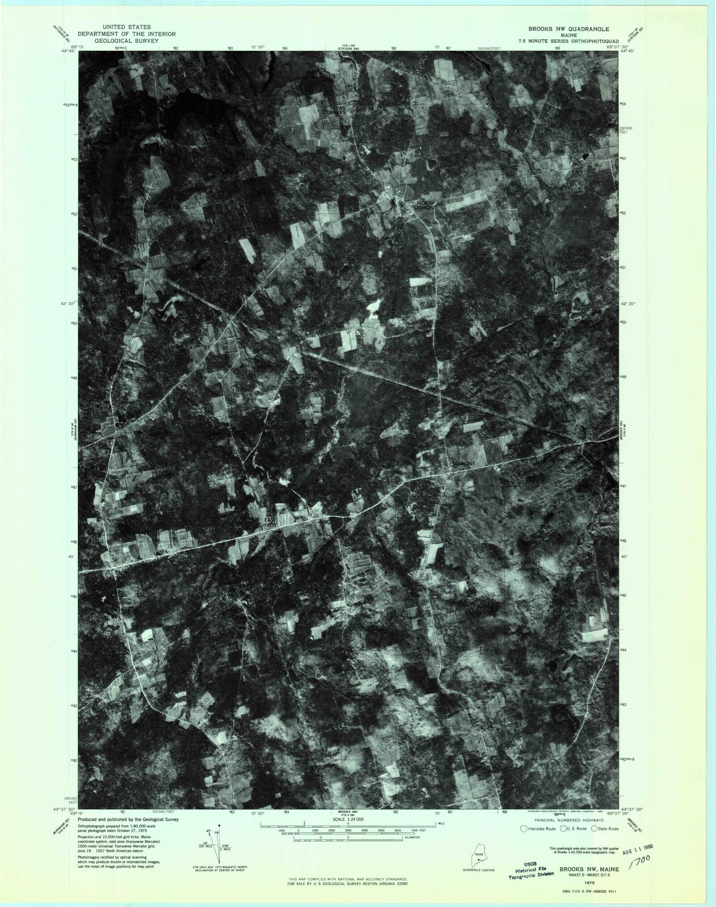
Classic USGS Dixmont Maine 7.5'x7.5' Topo Map
Couldn't load pickup availability
Historical USGS topographic quad map of Dixmont in the state of Maine. Map scale may vary for some years, but is generally around 1:24,000. Print size is approximately 24" x 27"
This quadrangle is in the following counties: Penobscot, Waldo.
The map contains contour lines, roads, rivers, towns, and lakes. Printed on high-quality waterproof paper with UV fade-resistant inks, and shipped rolled.
Contains the following named places: Cates Meadows, Common Hill, Dixmont, Dixmont Corner Cemetery, Dixmont Corner Church, Dixmont Post Office, Dixmont Volunteer Fire Department North Station, Dixmont Volunteer Main Fire Station, Drake Pond, East Troy, Garfield School, Hathaway Cemetery, Hows Corners, Huise Corners, Jewell Cemetery, Mount Harris, Mount Holly Cemetery, North Dixmont, North Dixmont Cemetery, Rogers Corners, Rollins Mills, Round Pond, Sawyer Cemetery, Skinner Bog, Town of Dixmont, Troy, Webster Cemetery, ZIP Code: 04932