MyTopo
Classic USGS Dixon NE South Dakota 7.5'x7.5' Topo Map
Regular price
$16.95
Regular price
Sale price
$16.95
Unit price
per
Couldn't load pickup availability
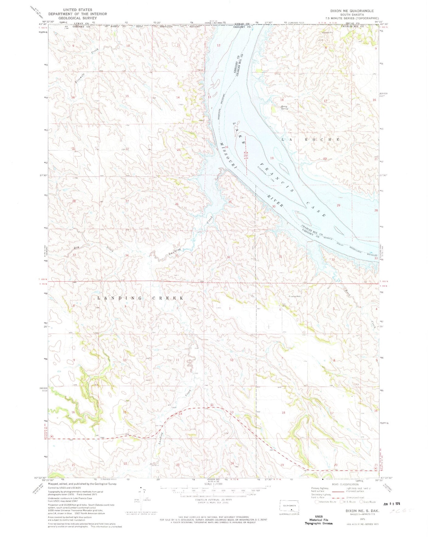
Historical USGS topographic quad map of Dixon NE in the state of South Dakota. Map scale may vary for some years, but is generally around 1:24,000. Print size is approximately 24" x 27"
This quadrangle is in the following counties: Brule, Charles Mix, Gregory, Lyman.
The map contains contour lines, roads, rivers, towns, and lakes. Printed on high-quality waterproof paper with UV fade-resistant inks, and shipped rolled.
Contains the following named places: Berry Spring, Bijous Trading Post, Dry Creek, Durex Island, Landing Creek, Rosebud Landing, Rush Creek, Township of Landing Creek