MyTopo
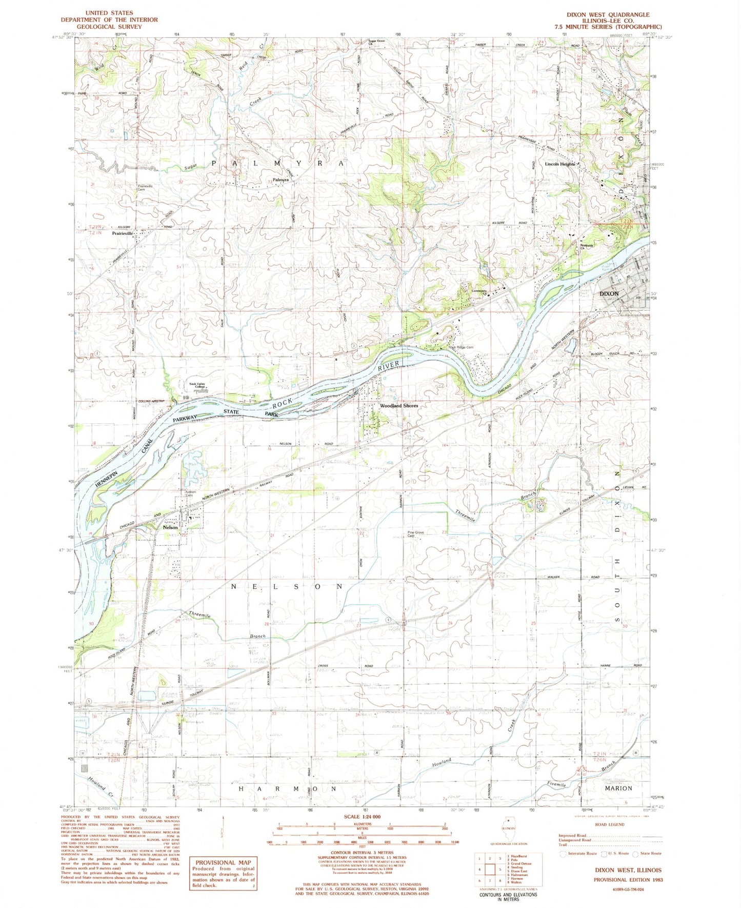
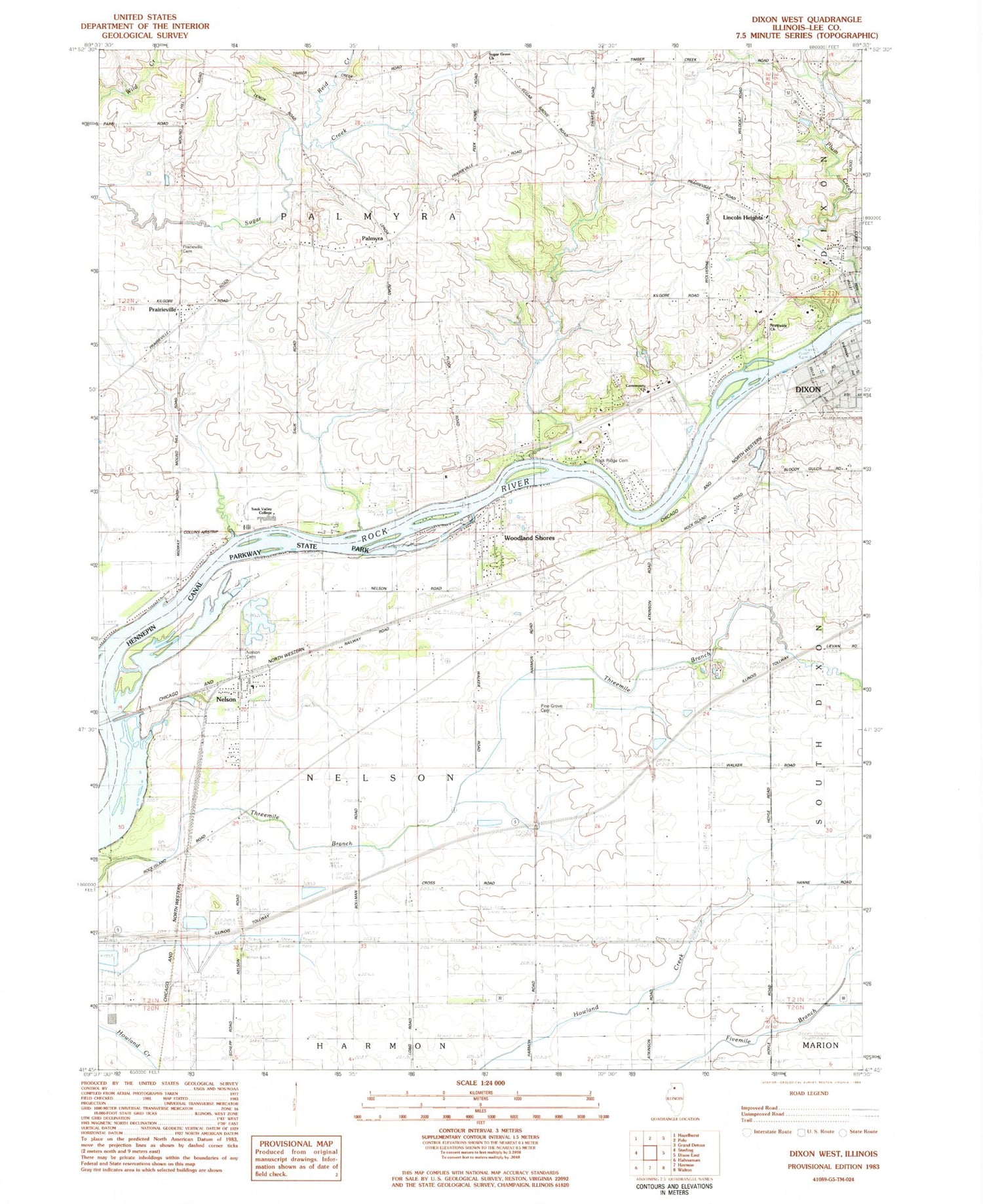
Classic USGS Dixon West Illinois 7.5'x7.5' Topo Map
Couldn't load pickup availability
Historical USGS topographic quad map of Dixon West in the state of Illinois. Map scale may vary for some years, but is generally around 1:24,000. Print size is approximately 24" x 27"
This quadrangle is in the following counties: Lee.
The map contains contour lines, roads, rivers, towns, and lakes. Printed on high-quality waterproof paper with UV fade-resistant inks, and shipped rolled.
Contains the following named places: Advance Emergency Medical Services of Dixon, Collins Airstrip, Community Church, Cook School, Gap Grove, Gearhart-Hollow Heliport, Gerdes Quarry, Hennepin Canal Parkway State Park, Hillhouse School, Kimbal School, Kings School, Lincoln Heights, Memorial Pool, Midway Drive-In, Nelson, Nelson Cemetery, Nelson Elementary School, Northside Church, Oak Forest School, Palmyra, Palmyra Cemetery, Pine Grove Cemetery, Plum Hollow Golf Course, Prairieville, Prairieville Cemetery, Propheter Quarry, Reid Creek, Reynolds Field, Rockwood Cemetery, Sauk Valley Community College, Sugar Grove Church, Township of Nelson, Township of Palmyra, Vaile Park, Village of Nelson, Walker School, Wildcat School, Wolverine School, Woodland Shores


