MyTopo
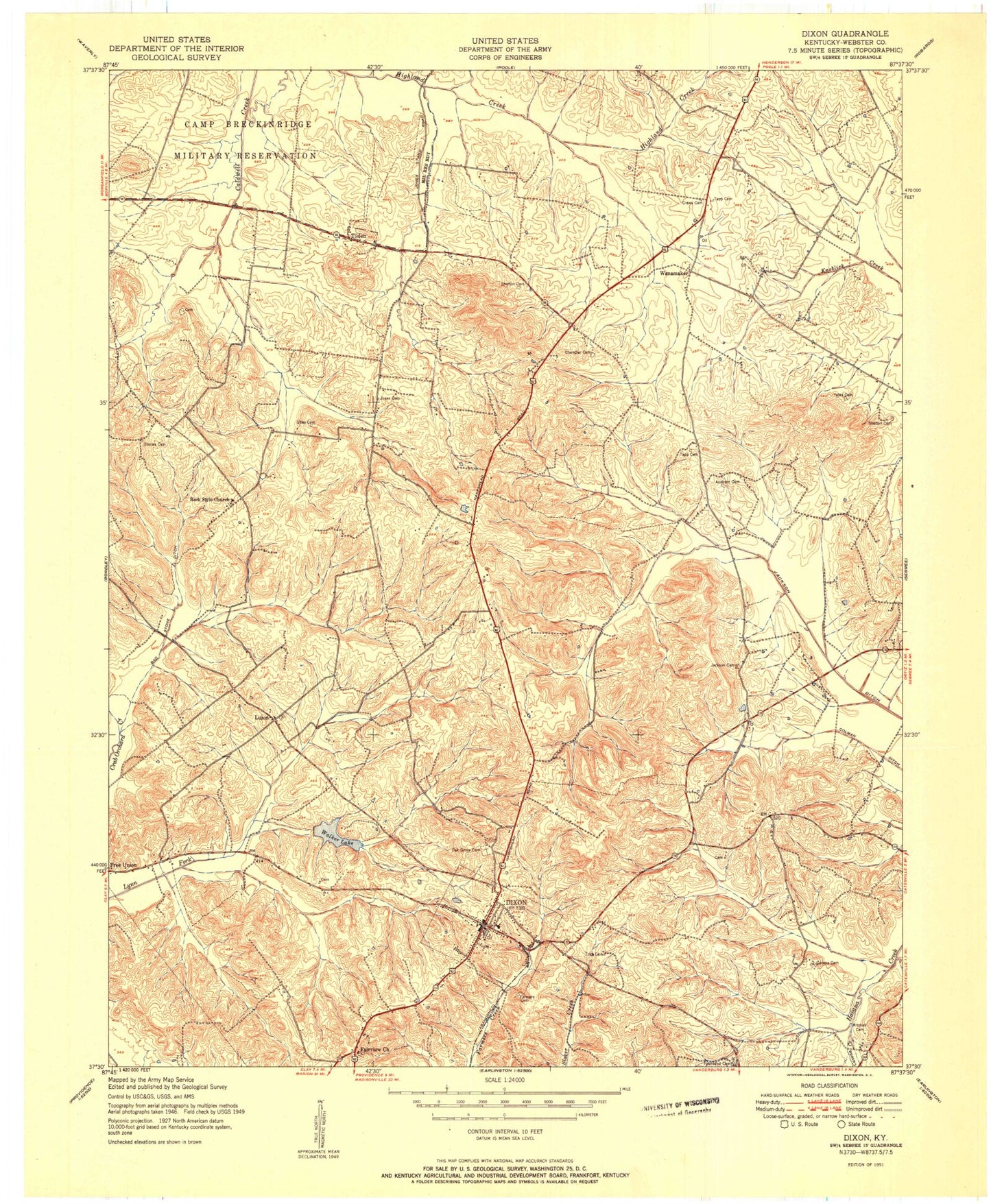
Classic USGS Dixon Kentucky 7.5'x7.5' Topo Map
Couldn't load pickup availability
Historical USGS topographic quad map of Dixon in the state of Kentucky. Map scale may vary for some years, but is generally around 1:24,000. Print size is approximately 24" x 27"
This quadrangle is in the following counties: Union, Webster.
The map contains contour lines, roads, rivers, towns, and lakes. Printed on high-quality waterproof paper with UV fade-resistant inks, and shipped rolled.
Contains the following named places: Bad Stone Ditch, Camp Clark, Cavena Cemetery, Cavena Creek, City Lake, City of Dixon, Colman Ditch, Crews Cemetery, Dixon, Dixon Division, Dixon Fire Department, Dixon Lookout Tower, Dixon Post Office, Fairview Cemetery, Fairview Church, Jackson Cemetery, Jackson Ditch, Jonestand Ditch, Lakeview Missionary Baptist Church Cemetery, Little Zion, Little Zion Cemetery, McClendon - Chandler Cemetery, Oak Grove Cemetery, Parker Family Cemetery, Rock Stile Cemetery, Rock Stile Church, Sammons Cemetery, Shelton Cemetery, Stone Family Cemetery, Tapp and Snipes Cemetery, Tilden, Townsend Cemetery, Townsend Family Cemetery, Walker Lake, Wanamaker, Webster County, Webster County Coordinator 911, Webster County Emergency Medical Services, Webster County Sheriff's Office, Yates Cemetery, ZIP Code: 42409


