MyTopo
Classic USGS Dixville Notch New Hampshire 7.5'x7.5' Topo Map
Couldn't load pickup availability
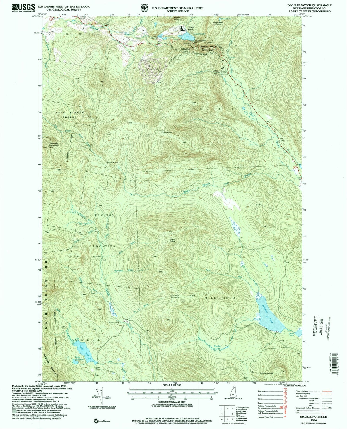
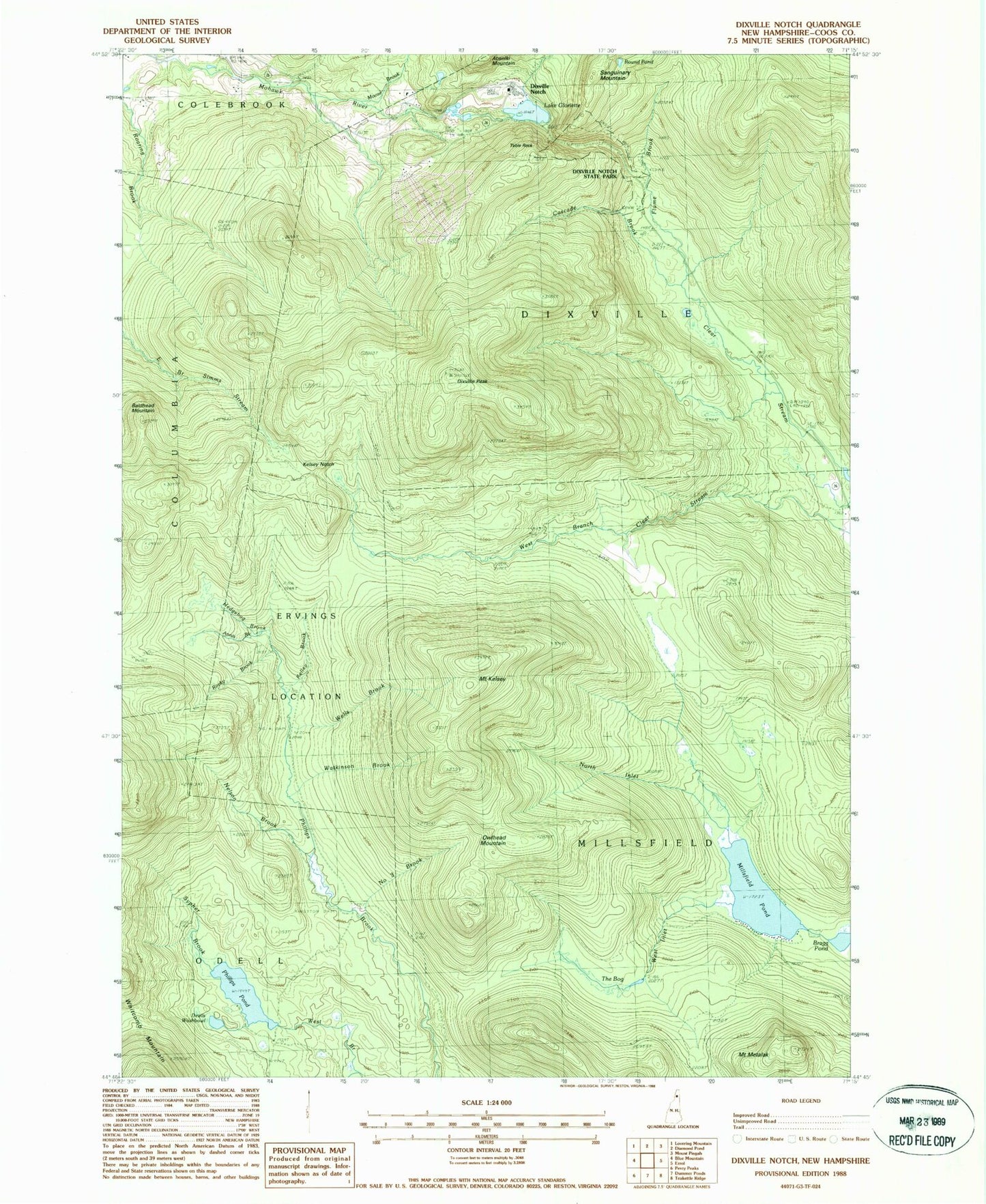
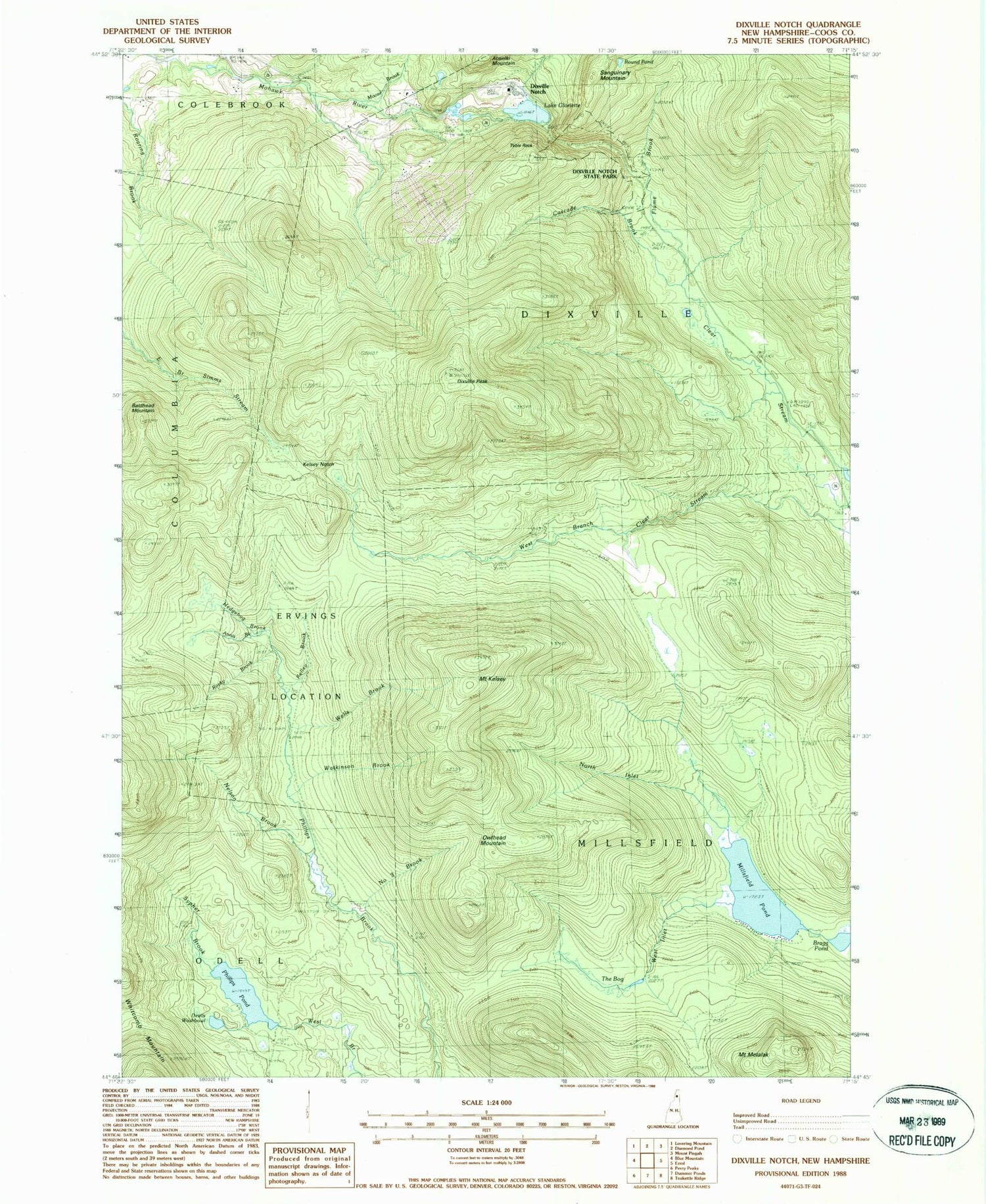
Historical USGS topographic quad map of Dixville Notch in the state of New Hampshire. Typical map scale is 1:24,000, but may vary for certain years, if available. Print size: 24" x 27"
This quadrangle is in the following counties: Coos.
The map contains contour lines, roads, rivers, towns, and lakes. Printed on high-quality waterproof paper with UV fade-resistant inks, and shipped rolled.
Contains the following named places: Annis Brook, Baldhead Mountain, Bragg Pond, Cascade Brook, Devils Washbowl, Dixville Notch, Dixville Peak, Flume Brook, Hedgehog Brook, Kelly Brook, Kelsey Notch, Mount Kelsey, Kingston Dam, Lake Metalak, Millsfield Pond, Moose Brook, Nelson Brook, Number Three Brook, Number Four Dam, North Inlet, Owlhead Mountain, Rocky Brook, Round Pond, Sypher Brook, Table Rock, The Bog, The Flume, Watkinson Brook, Wells Brook, West Inlet, Ervings Location, Township of Millsfield, Lake Gloriette Dam, Lake Gloriette, Lake Gloriette Dike, Farm Reservoir Dam, Farm Pond, Lake Abeniki Dam, Lake Abeniki, Phillips Pond Dam, Phillips Pond, Balsams-Wilderness Ski Area, Dixville Notch State Park