MyTopo
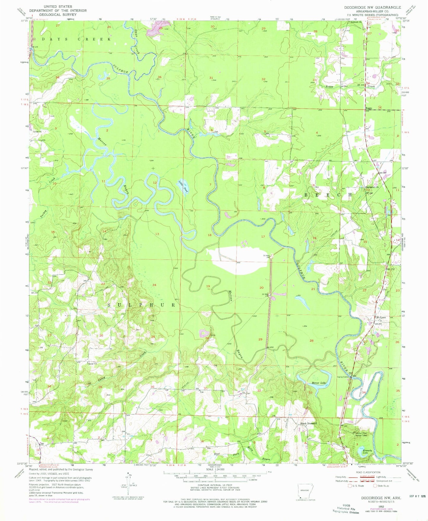
Classic USGS Doddridge NW Arkansas 7.5'x7.5' Topo Map
Couldn't load pickup availability
Historical USGS topographic quad map of Doddridge NW in the state of Arkansas. Map scale may vary for some years, but is generally around 1:24,000. Print size is approximately 24" x 27"
This quadrangle is in the following counties: Miller.
The map contains contour lines, roads, rivers, towns, and lakes. Printed on high-quality waterproof paper with UV fade-resistant inks, and shipped rolled.
Contains the following named places: Antioch Church, Black Diamond, Boggy, Boggy Creek Volunteer Fire Department, Caney Church, Caney Creek, Crabtree Lake, Crabtree Lake Dam, Days Creek, Fort Lynn, Jonesville, Kennedy Lake, Little Pond, Mercer Bayou, Mercer Lake, Millett Oil and Gas Field, Springhill Church, Sulphur River Lookout Tower, Sulphur River State Wildlife Management Area, Township of Beech, Turkey Creek