MyTopo
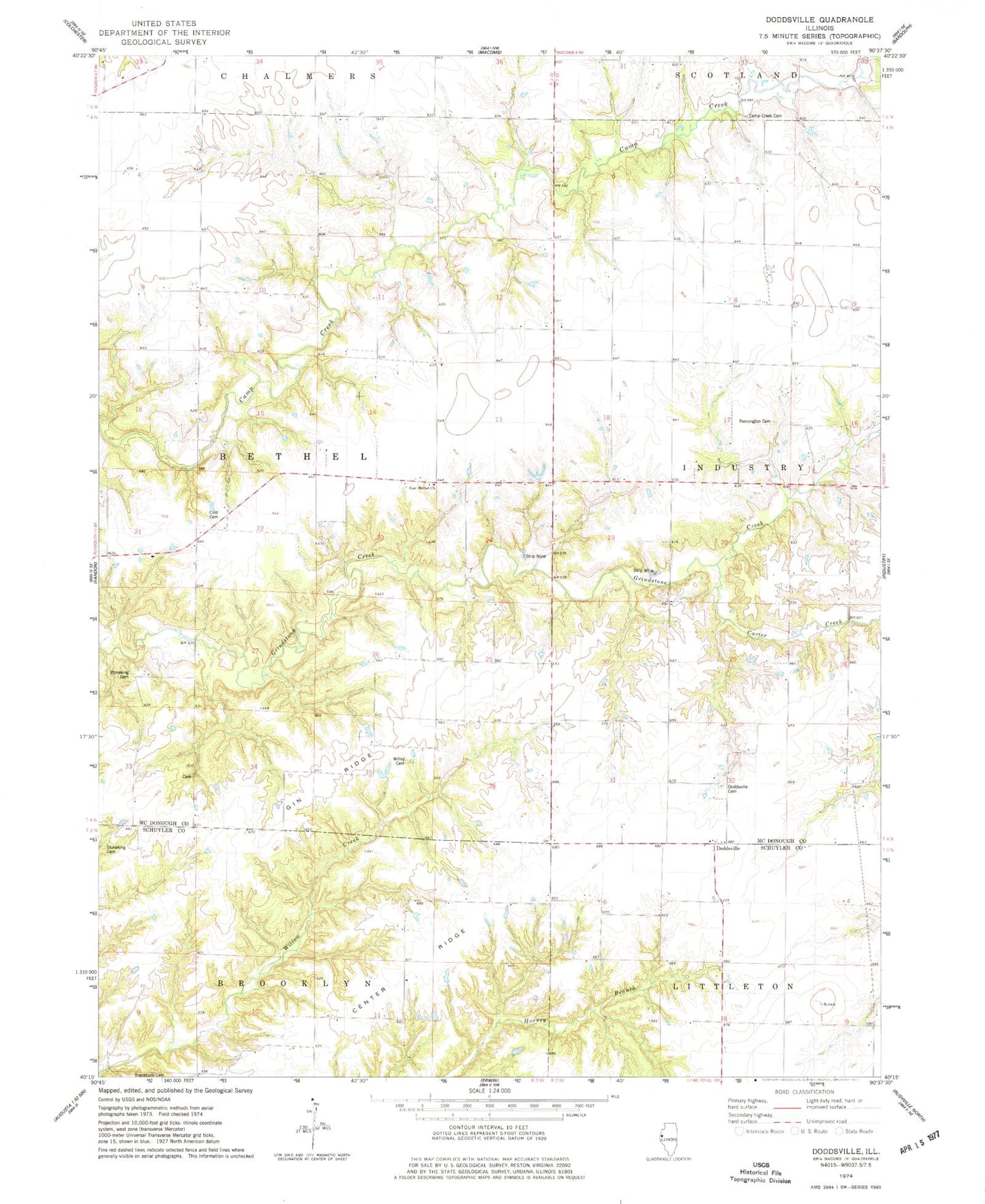
Classic USGS Doddsville Illinois 7.5'x7.5' Topo Map
Couldn't load pickup availability
Historical USGS topographic quad map of Doddsville in the state of Illinois. Map scale may vary for some years, but is generally around 1:24,000. Print size is approximately 24" x 27"
This quadrangle is in the following counties: McDonough, Schuyler.
The map contains contour lines, roads, rivers, towns, and lakes. Printed on high-quality waterproof paper with UV fade-resistant inks, and shipped rolled.
Contains the following named places: Bethel Baptist Cemetery, Blackburn Cemetery, Blazer School, Bowman Cemetery, Camp Creek Cemetery, Carter Creek, Center Ridge, Coker School, Cost Cemetery, Cottage Corner School, Doddsville, Doddsville Cemetery, Doddsville Community Methodist Church, Doddsville Presbyterian Church, East Bethel Methodist Church, East Bethel School, Flatiron School, Gin Ridge, Gunning Cemetery, Hickory Grove Corner, Lower Center School, Mount Zion Free Methodist Church, Mount Zion School, New Era School, Pennington Cemetery, Pruitt Cemetery, Rigg Cemetery, Runkle School, Siesta Post Office, Snyder School, Stoneking Cemetery, The Thousand Acres, Township of Bethel, Union Church, Upper Center School, Vawter Cemetery, Victor School, Willey Cemetery