MyTopo
Classic USGS Dodge Washington 7.5'x7.5' Topo Map
Regular price
$16.95
Regular price
Sale price
$16.95
Unit price
per
Couldn't load pickup availability
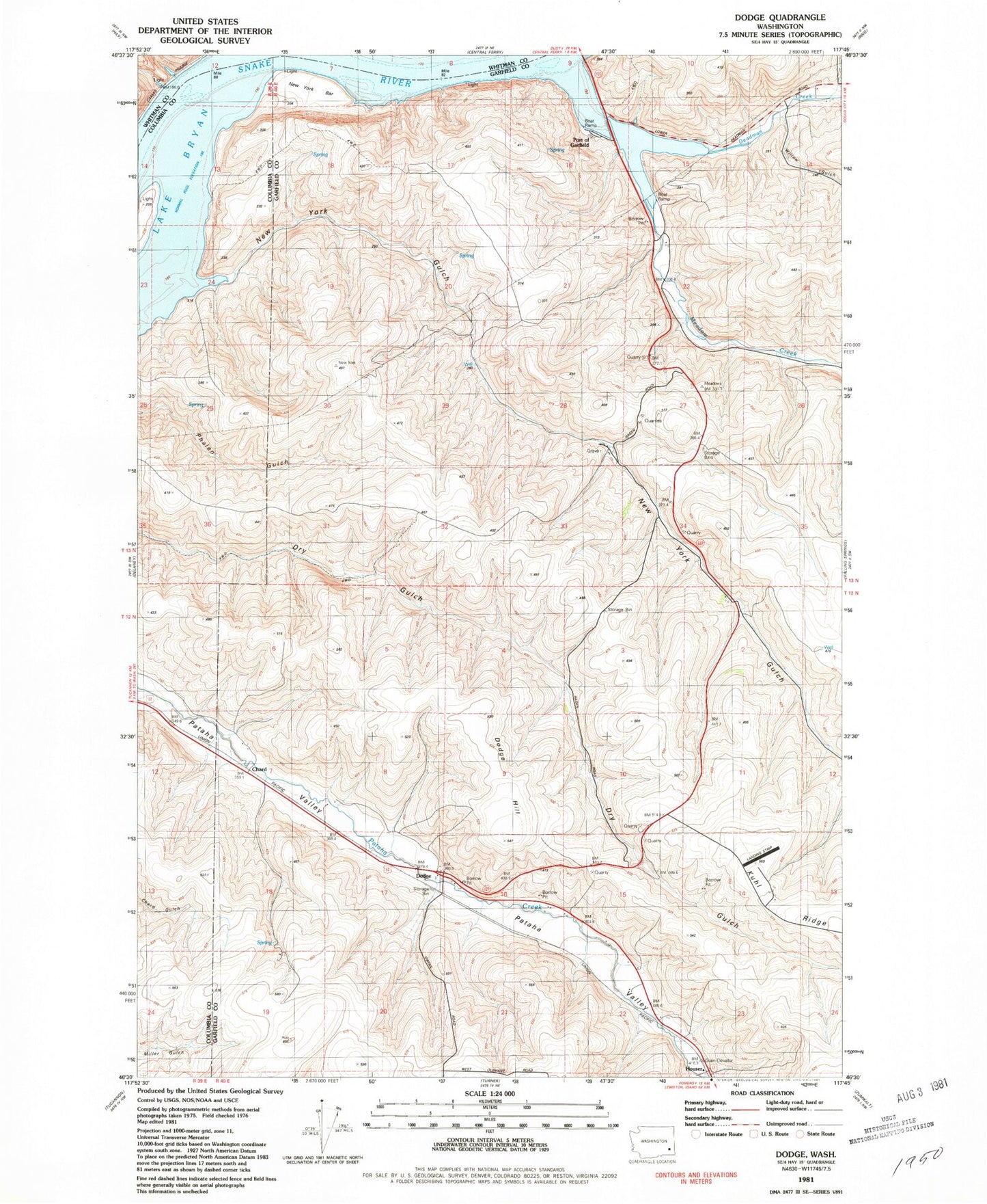
Historical USGS topographic quad map of Dodge in the state of Washington. Map scale may vary for some years, but is generally around 1:24,000. Print size is approximately 24" x 27"
This quadrangle is in the following counties: Columbia, Garfield, Whitman.
The map contains contour lines, roads, rivers, towns, and lakes. Printed on high-quality waterproof paper with UV fade-resistant inks, and shipped rolled.
Contains the following named places: Chard, Deadman Creek, Dodge, Dodge Hill, Houser, Kuhl Ridge, Meadow Creek, New York Bar, New York Gulch, New York Island, Pataha Valley Grange, Port of Garfield, Scott Seed Farm Airport, Willow Gulch