MyTopo
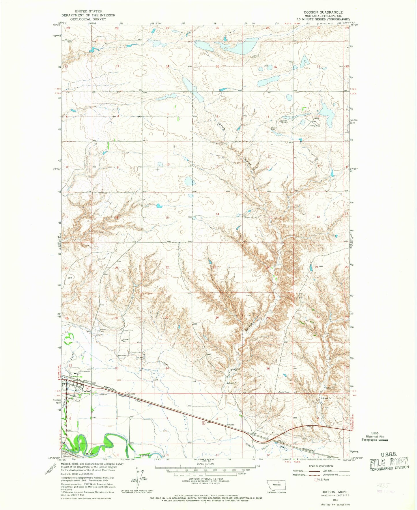
Classic USGS Dodson Montana 7.5'x7.5' Topo Map
Couldn't load pickup availability
Historical USGS topographic quad map of Dodson in the state of Montana. Map scale may vary for some years, but is generally around 1:24,000. Print size is approximately 24" x 27"
This quadrangle is in the following counties: Phillips.
The map contains contour lines, roads, rivers, towns, and lakes. Printed on high-quality waterproof paper with UV fade-resistant inks, and shipped rolled.
Contains the following named places: 31N27E09BABC01 Well, Burlington Northern Overpass Bridge, Congregational Church of Dodson, Dodson, Dodson Branch Library, Dodson Community Church, Dodson Creek, Dodson Lutheran Church, Dodson North Canal, Dodson Post Office, Dodson Public Schools, Dodson Pump Canal, Hay Coulee, Herman Number 1 Dam, Hillside Cemetery, Phillips County Fairground, Phillips County Volunteer Fire Company - Dodson Station, Pleasant Hill School, Sacred Heart Catholic Church, Spring Coulee, Town of Dodson, Wagner Coulee