MyTopo
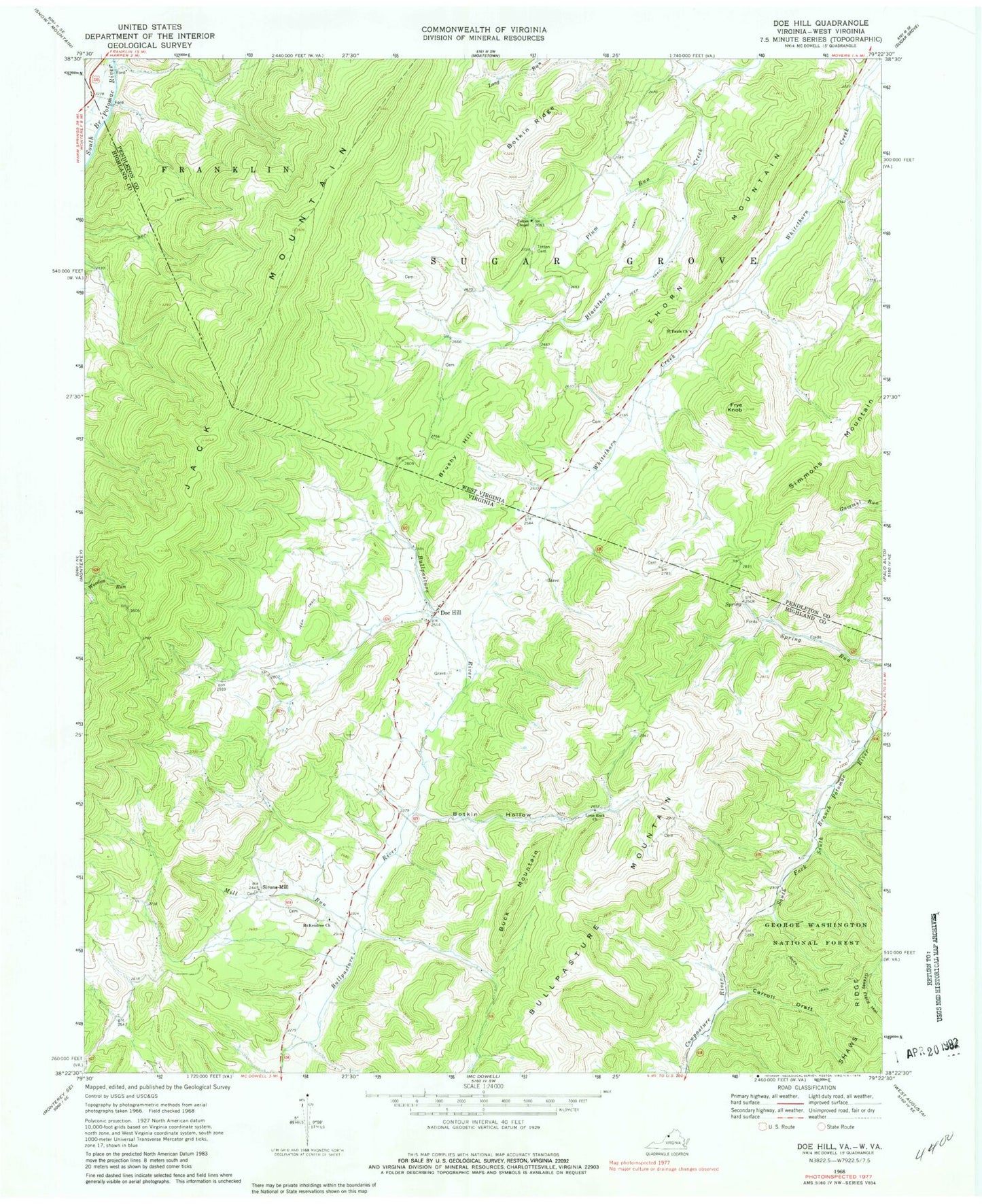
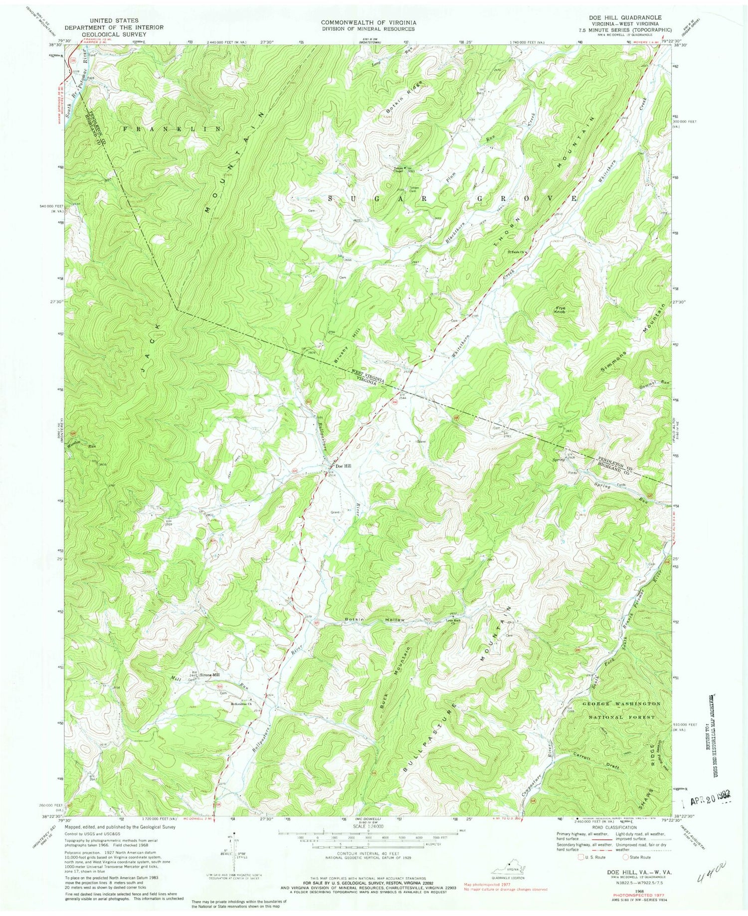
Classic USGS Doe Hill Virginia 7.5'x7.5' Topo Map
Couldn't load pickup availability
Historical USGS topographic quad map of Doe Hill in the states of Virginia, West Virginia. Map scale may vary for some years, but is generally around 1:24,000. Print size is approximately 24" x 27"
This quadrangle is in the following counties: Highland, Pendleton.
The map contains contour lines, roads, rivers, towns, and lakes. Printed on high-quality waterproof paper with UV fade-resistant inks, and shipped rolled.
Contains the following named places: Botkin Hollow, Botkin Ridge, Brushy Hill, Buck Mountain, Bullpasture Mountain, Carroll Draft, Company 7 South River Fire Department, Crummett Spring, Doe Hill, Doe Hill Post Office, Doe Hill School, Frye Knob, Grottoes Volunteer Fire Company 20, Hiner Springs, Jack Mountain, Jones Trail, Judy Spring, Lynn Rock Church, McKendree Church, Mill Run, Plum Run, Sanders Farm Spring, Simmons Mountain, Sirons Mill, Thorn Mountain, Totten Cemetery, Totten Chapel, Whiteman Run, ZIP Code: 24433


