MyTopo
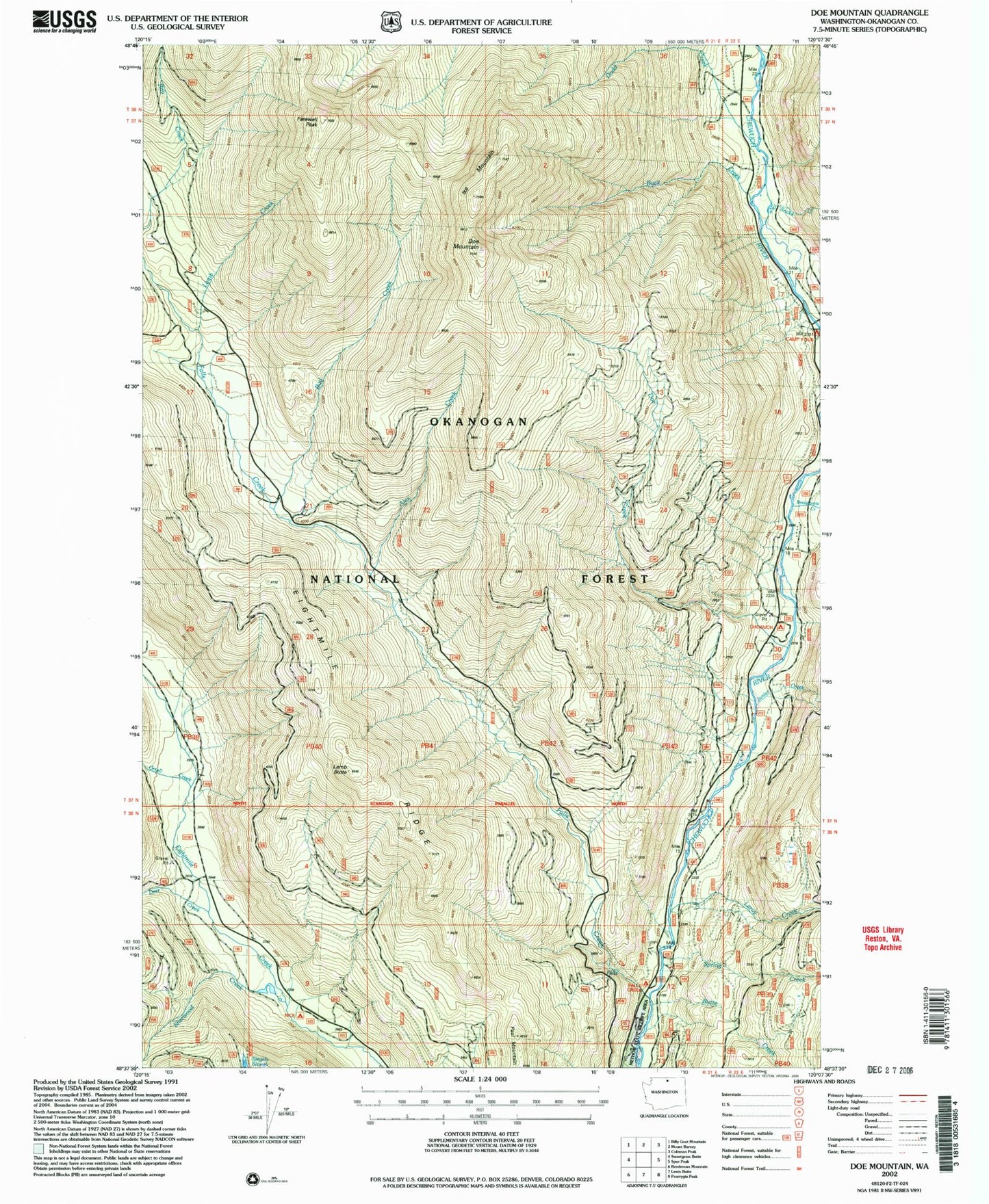
Classic USGS Doe Mountain Washington 7.5'x7.5' Topo Map
Couldn't load pickup availability
Historical USGS topographic quad map of Doe Mountain in the state of Washington. Map scale may vary for some years, but is generally around 1:24,000. Print size is approximately 24" x 27"
This quadrangle is in the following counties: Okanogan.
The map contains contour lines, roads, rivers, towns, and lakes. Printed on high-quality waterproof paper with UV fade-resistant inks, and shipped rolled.
Contains the following named places: Alex Creek, Brevicomis Creek, Buck Creek, Bud Creek, Butte Creek, Camp Four Campground, Chewuch Campground, Deer Creek, Dodd Creek, Doe Creek, Doe Mountain, Falls Creek, Falls Creek Campground, Falls Creek Falls, Farewell Peak, Ike Mountain, Junior Creek, Lamb Butte, Lamb Creek, Leroy Creek, Nice Campground, No Snake Creek, Ortell Creek, Paul Mountain, Sherwood Creek, Spring Creek