MyTopo
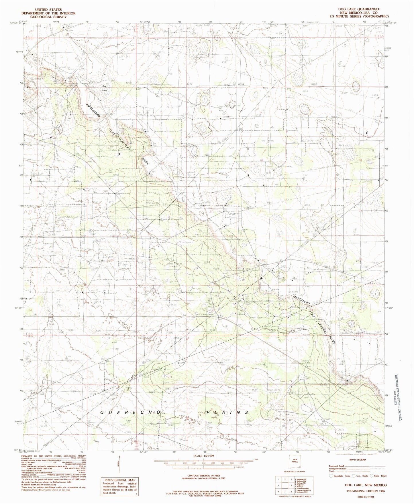
Classic USGS Dog Lake New Mexico 7.5'x7.5' Topo Map
Couldn't load pickup availability
Historical USGS topographic quad map of Dog Lake in the state of New Mexico. Map scale may vary for some years, but is generally around 1:24,000. Print size is approximately 24" x 27"
This quadrangle is in the following counties: Lea.
The map contains contour lines, roads, rivers, towns, and lakes. Printed on high-quality waterproof paper with UV fade-resistant inks, and shipped rolled.
Contains the following named places: Caprock Sand and Gravel, Cogburn Windmill, Dog Lake Well, East Maljamar Oil Field, Emsay Windmill, Green Windmill, Lake Windmill, Leamex Oil Field, Little Windmill, Maljamar Oil Field, Pen Place Windmill, Roberts Oil Field, Sannel Oil Field, Steel Windmill, Taylor- Holeman Ranch, Taylor Ranch, Three Well Windmill, White Lake