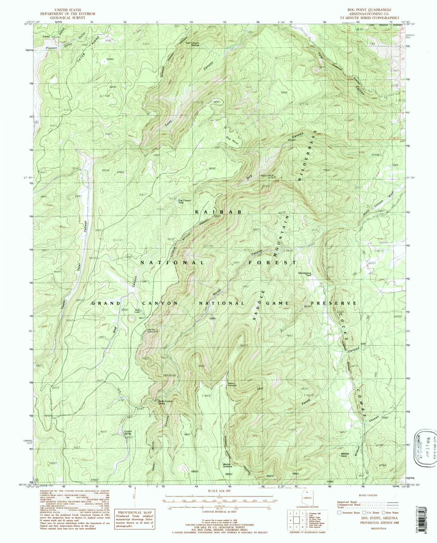
MyTopo
Classic USGS Dog Point Arizona 7.5'x7.5' Topo Map
Couldn't load pickup availability
Historical USGS topographic quad map of Dog Point in the state of Arizona. Typical map scale is 1:24,000, but may vary for certain years, if available. Print size: 24" x 27"
This quadrangle is in the following counties: Coconino.
The map contains contour lines, roads, rivers, towns, and lakes. Printed on high-quality waterproof paper with UV fade-resistant inks, and shipped rolled.
Contains the following named places: Cocks Combs, Crystal Spring, Dog Canyon, Dog Lake, Dog Point, East Rim Viewpoint, Cane Ridge, Marble Viewpoint, North Canyon, North Canyon Spring, Pigeon Pockets, Tater Canyon Springs, Tater Ridge, Upper North Canyon, Upper Tater Canyon, North Canyon Trail Four, Dog Canyon Tank, Mackelprang Tank, Marble Sinkhole, Dog Canyon Apron, Crystal Spring Tank, Crystal Spring Apron