MyTopo
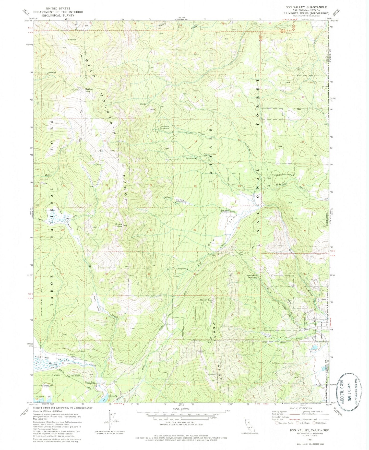
Classic USGS Dog Valley California 7.5'x7.5' Topo Map
Couldn't load pickup availability
Historical USGS topographic quad map of Dog Valley in the state of California. Typical map scale is 1:24,000, but may vary for certain years, if available. Print size: 24" x 27"
This quadrangle is in the following counties: Sierra, Washoe.
The map contains contour lines, roads, rivers, towns, and lakes. Printed on high-quality waterproof paper with UV fade-resistant inks, and shipped rolled.
Contains the following named places: Jammer Chair Flat, Babbitt Peak, Bald Mountain Range, Crystal Peak, Crystal Peak Guard Station, Dog Valley, Dog Valley Guard Station, Jones Valley, Merrill Creek, Merrill Valley, Mitchell Canyon, Sardine Valley, South Branch Dog Creek, Crystal Peak Campground, Hunting Camp Number Four, Dog Valley Campground, Hunting Camp Number Two, Davies Creek Campground, Donner Trail, Crystal Peak (historical), Sunrise 1290 Dam, Beacon Point, Camp Twentyone (historical), Males Station Campground, North Branch Dog Creek, Verdi, Babbit Peak Research Natural Area, Verdi Census Designated Place, Sierra Pines


