MyTopo
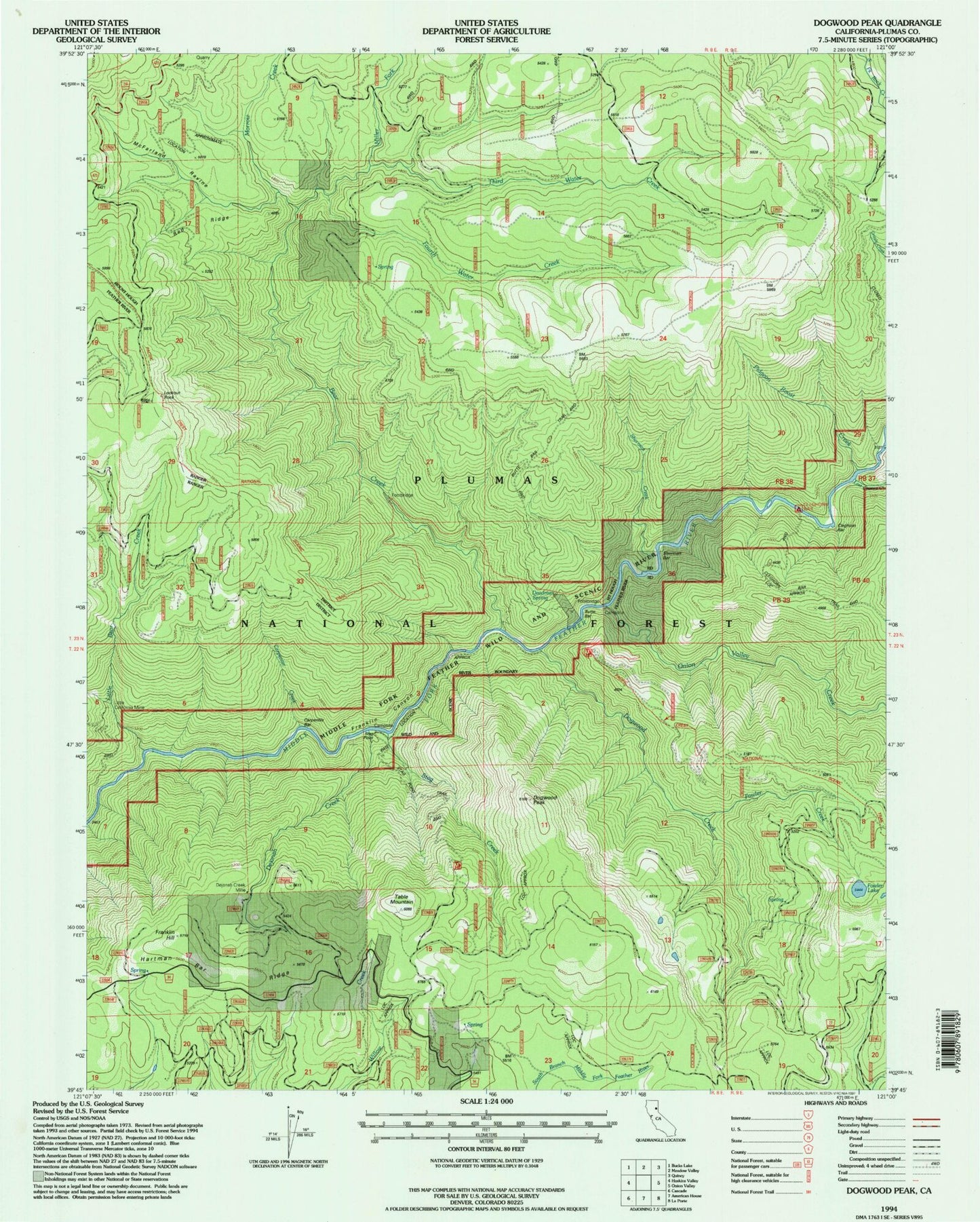
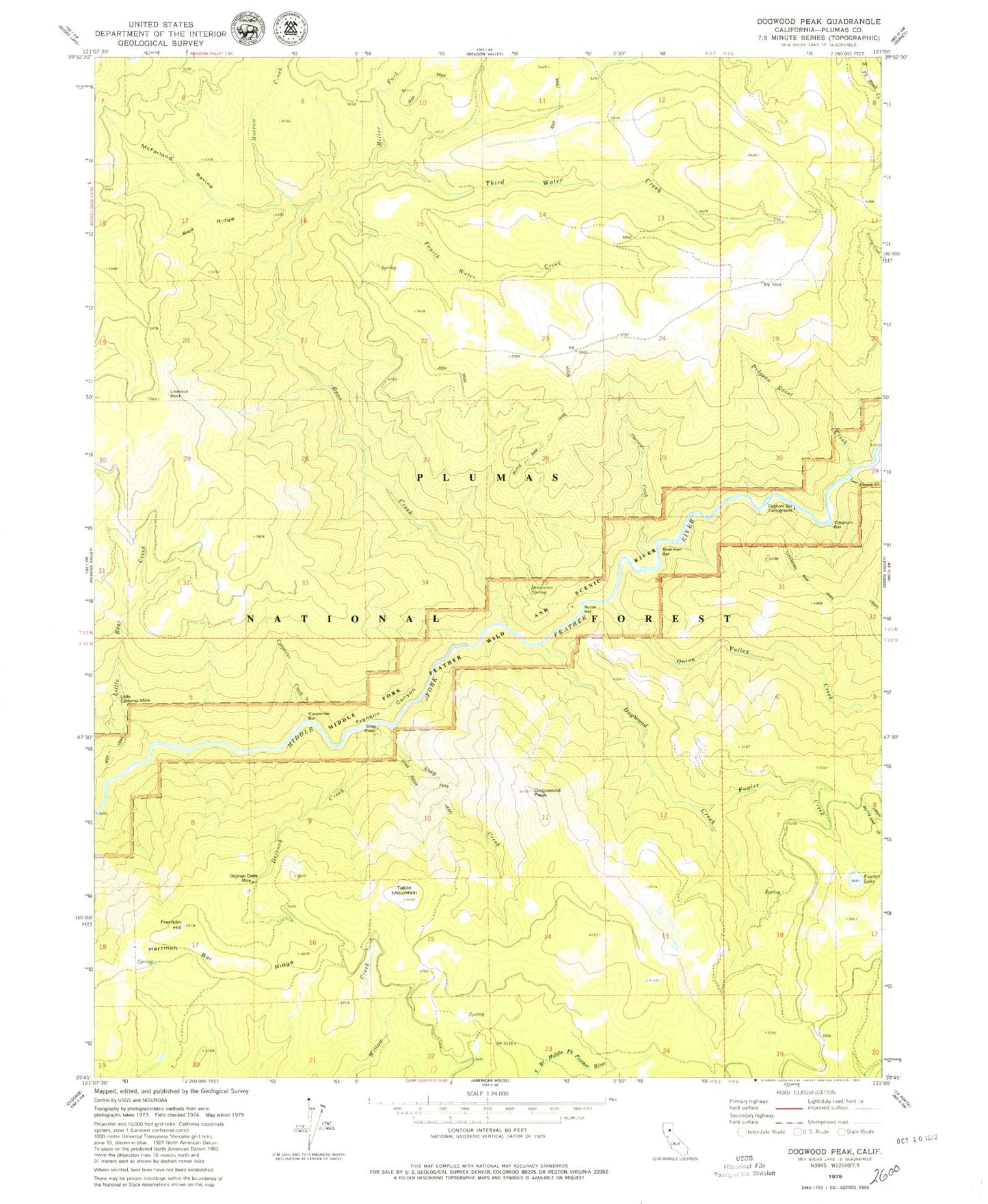
Classic USGS Dogwood Peak California 7.5'x7.5' Topo Map
Couldn't load pickup availability
Historical USGS topographic quad map of Dogwood Peak in the state of California. Typical map scale is 1:24,000, but may vary for certain years, if available. Print size: 24" x 27"
This quadrangle is in the following counties: Plumas.
The map contains contour lines, roads, rivers, towns, and lakes. Printed on high-quality waterproof paper with UV fade-resistant inks, and shipped rolled.
Contains the following named places: Bear Creek, Bottle Springs, Butte Bar, Carpenter Bar, Carpenter Creek, Cleghorn Bar, Cleghorn Bar Campground, Deadman Spring, Dejonah Creek, Dejonah Creek Mine, Dogwood Creek, Dogwood Peak, Fourth Water Creek, Fowler Lake, Franklin Canyon, Franklin Hill, Hartman Bar Ridge, Last Chance Creek, Little Bear Creek, Little California Mine, Lookout Rock, McFarland Ravine, Morrow Creek, Pidgeon Roost Creek, Red Ridge, Sherman Bar, Fowler Creek, Stag Creek, Miller Fork, Onion Valley Creek, Stag Point, Table Mountain, Third Water Creek


