MyTopo
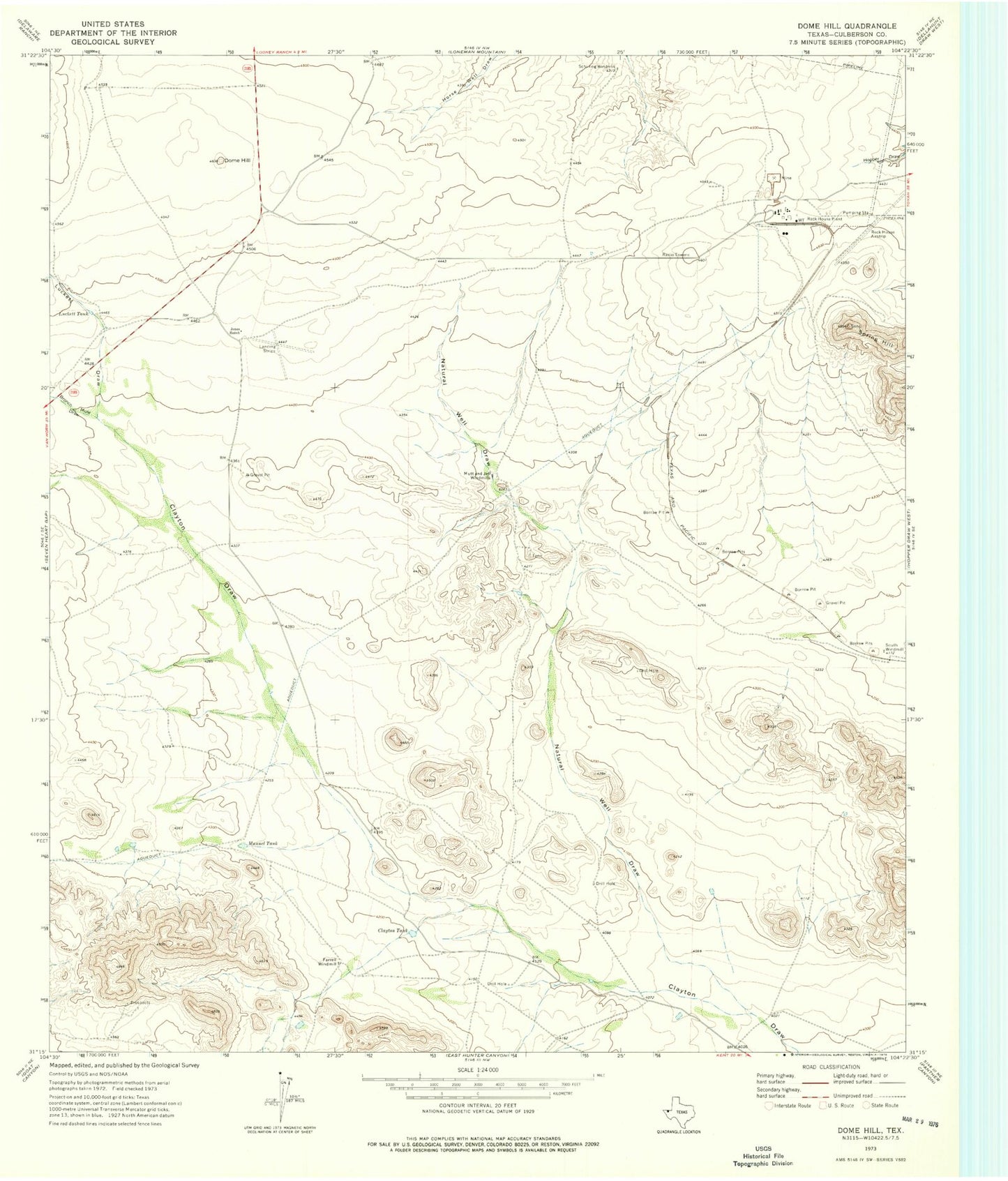
Classic USGS Dome Hill Texas 7.5'x7.5' Topo Map
Regular price
$16.95
Regular price
Sale price
$16.95
Unit price
per
Couldn't load pickup availability
Historical USGS topographic quad map of Dome Hill in the state of Texas. Map scale may vary for some years, but is generally around 1:24,000. Print size is approximately 24" x 27"
This quadrangle is in the following counties: Culberson.
The map contains contour lines, roads, rivers, towns, and lakes. Printed on high-quality waterproof paper with UV fade-resistant inks, and shipped rolled.
Contains the following named places: Bronco Mule Draw, Clayton Tank, Dome Hill, Farrell Windmill, Jones Ranch, Luckett Draw, Luckett Tank, Manuel Tank, Mutt and Jeff Windmills, Natural Well Draw, Rock House Plant, Schilling Windmill, Spring Hill