MyTopo
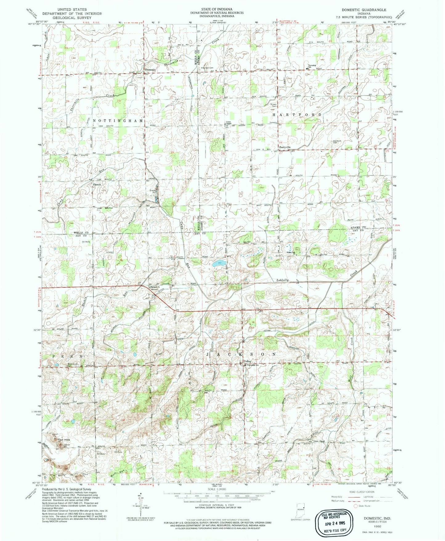
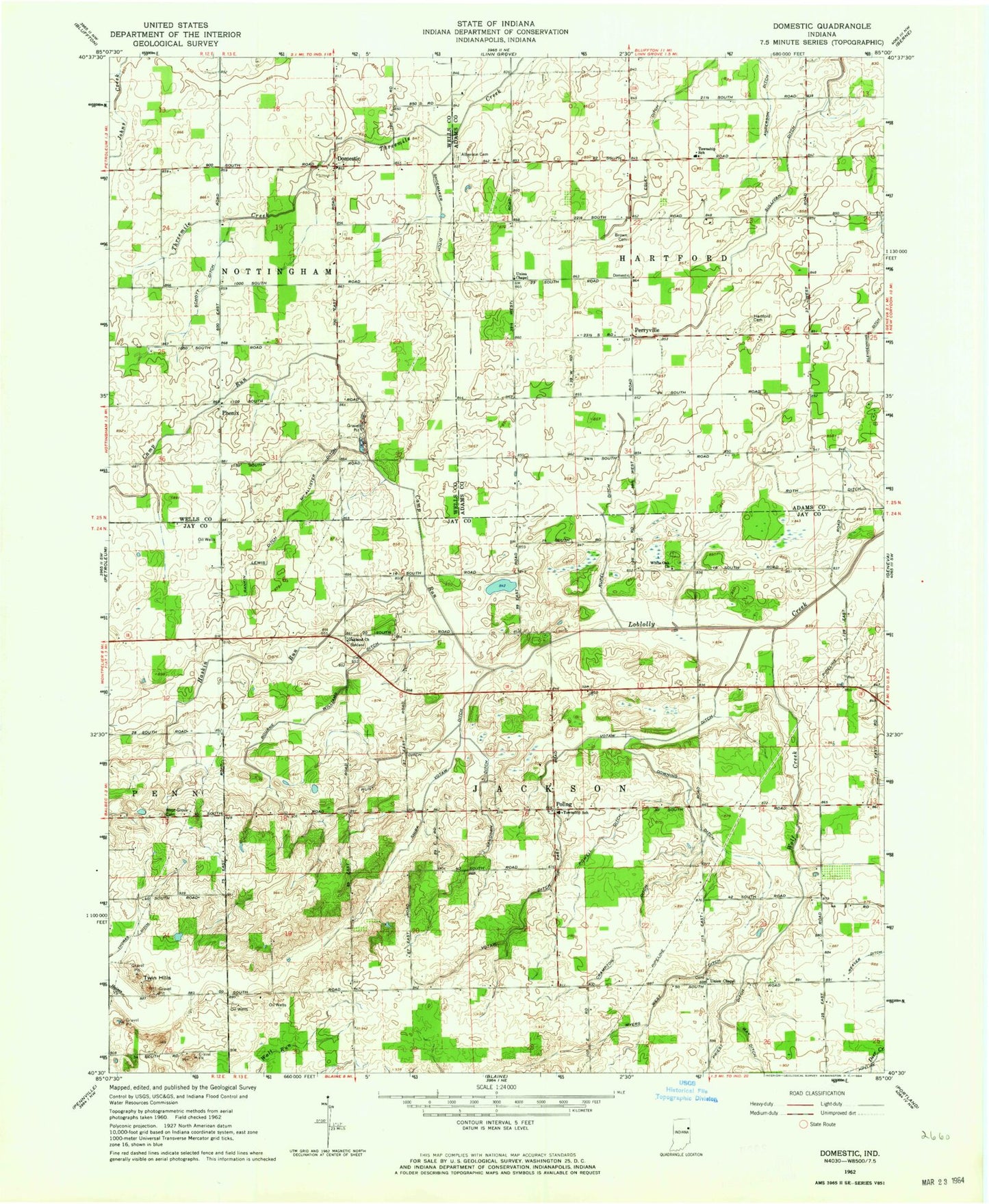
Classic USGS Domestic Indiana 7.5'x7.5' Topo Map
Couldn't load pickup availability
Historical USGS topographic quad map of Domestic in the state of Indiana. Map scale may vary for some years, but is generally around 1:24,000. Print size is approximately 24" x 27"
This quadrangle is in the following counties: Adams, Jay, Wells.
The map contains contour lines, roads, rivers, towns, and lakes. Printed on high-quality waterproof paper with UV fade-resistant inks, and shipped rolled.
Contains the following named places: Alberson Cemetery, Anderson Ditch, Bourne Williams Ditch, Brown Cemetery, Camp Run, Crampton Ditch, Domestic, Downing Ditch, Egley Ditch, Glendenning Ditch, Hartford Cemetery, Haskin Run, Hunt Ditch, Loew Lake, McAllister Ditch, Myers West Ditch, Oakland Church, Perryville, Phenix, Poling, Powell Ditch, Rankin Lewis Ditch, Roth Ditch, Rupel Ditch, Schott Ditch, Shirk Votaw Ditch, Shoemaker Ditch, Thomas Ditch, Township of Hartford, Township of Jackson, Twin Hills, Union Chapel, Vandorn Ditch, Votaw Ditch, Weaver Ditch, West Grove Cemetery, White Oak Church, Wolf Creek


