MyTopo
Classic USGS Donaldson Creek Oregon 7.5'x7.5' Topo Map
Regular price
$16.95
Regular price
Sale price
$16.95
Unit price
per
Couldn't load pickup availability
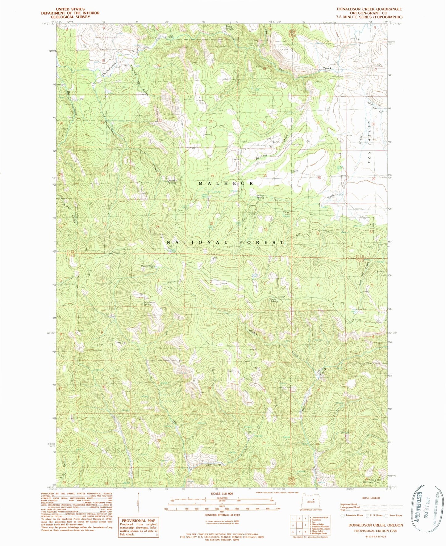
Historical USGS topographic quad map of Donaldson Creek in the state of Oregon. Map scale may vary for some years, but is generally around 1:24,000. Print size is approximately 24" x 27"
This quadrangle is in the following counties: Grant.
The map contains contour lines, roads, rivers, towns, and lakes. Printed on high-quality waterproof paper with UV fade-resistant inks, and shipped rolled.
Contains the following named places: Beck Creek, Boag Creek, Boulder Creek, Camp Creek, Dipping Vat Creek, Dolly Spring, Donaldson Creek, Fox Creek, Hinton Spring, Pismire Camp, Sagebrush Spring, Sand Creek, Slip Up Creek, Wildcat Creek, Wiley Creek Airport, Willow Spring